

2016_Traversée du Jura
A cycling route starting in Nyon, Canton of Vaud, Switzerland.
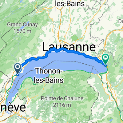
Overview
About this route
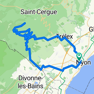
Day 1: 16 km, +520 m, -20 m
Day 2: 100 km, +2120 m, -1780 m
Day 3: 159 km, +2750 m, -2090 m
Day 4: 213 km, +3100 m, -3060 m
Day 5: 295 km, +4100 m, -4210 m
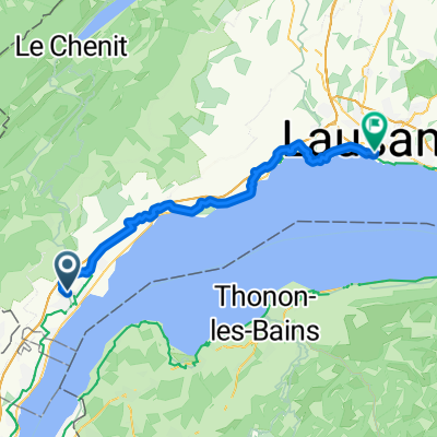
Day 6: 369 km, +4270 m, -4390 m
- -:--
- Duration
- 369 km
- Distance
- 2,873 m
- Ascent
- 2,995 m
- Descent
- ---
- Avg. speed
- ---
- Max. altitude

Route quality
Waytypes & surfaces along the route
Waytypes
Quiet road
147.6 km
(40 %)
Track
66.4 km
(18 %)
Surfaces
Paved
202.9 km
(55 %)
Unpaved
18.4 km
(5 %)
Asphalt
155 km
(42 %)
Paved (undefined)
40.6 km
(11 %)
Route highlights
Points of interest along the route
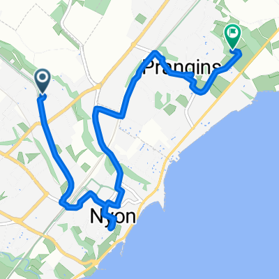
Accommodation after 15.9 km
Bivouac 1
Accommodation after 106.9 km
camping jour 2
Accommodation after 157.9 km
Camping jour 3
Accommodation after 211.4 km
camping jour 4
Accommodation after 296.9 km
Camping 5
Continue with Bikemap
Use, edit, or download this cycling route
You would like to ride 2016_Traversée du Jura or customize it for your own trip? Here is what you can do with this Bikemap route:
Free features
- Save this route as favorite or in collections
- Copy & plan your own version of this route
- Split it into stages to create a multi-day tour
- Sync your route with Garmin or Wahoo
Premium features
Free trial for 3 days, or one-time payment. More about Bikemap Premium.
- Navigate this route on iOS & Android
- Export a GPX / KML file of this route
- Create your custom printout (try it for free)
- Download this route for offline navigation
Discover more Premium features.
Get Bikemap PremiumFrom our community
Other popular routes starting in Nyon
 From Nyon to Montreux
- Distance
- 75.8 km
- Ascent
- 986 m
- Descent
- 988 m
- Location
- Nyon, Canton of Vaud, Switzerland
 2016_Traversée du Jura
- Distance
- 369 km
- Ascent
- 2,873 m
- Descent
- 2,995 m
- Location
- Nyon, Canton of Vaud, Switzerland
 Lac Leman Day 5: Nyon to Lausanne
- Distance
- 45.3 km
- Ascent
- 388 m
- Descent
- 406 m
- Location
- Nyon, Canton of Vaud, Switzerland
 Route de Divonne, Nyon to Chemin de l'Argillière, Nyon
- Distance
- 44.3 km
- Ascent
- 1,426 m
- Descent
- 1,426 m
- Location
- Nyon, Canton of Vaud, Switzerland
 LLD5.1: Nyon to Prangins Apple Watch on 17 Jul at 11:33
- Distance
- 5.8 km
- Ascent
- 67 m
- Descent
- 89 m
- Location
- Nyon, Canton of Vaud, Switzerland
 Stäfa - Tarifa Stage #3 Nyon - Saint Marie de Cuines
- Distance
- 154.1 km
- Ascent
- 1,316 m
- Descent
- 1,209 m
- Location
- Nyon, Canton of Vaud, Switzerland
 Tour du lac
- Distance
- 181.9 km
- Ascent
- 1,157 m
- Descent
- 1,178 m
- Location
- Nyon, Canton of Vaud, Switzerland
 Juro-Route Teil 1 von Nyon-Lucelle
- Distance
- 229.2 km
- Ascent
- 4,773 m
- Descent
- 4,582 m
- Location
- Nyon, Canton of Vaud, Switzerland
Open it in the app