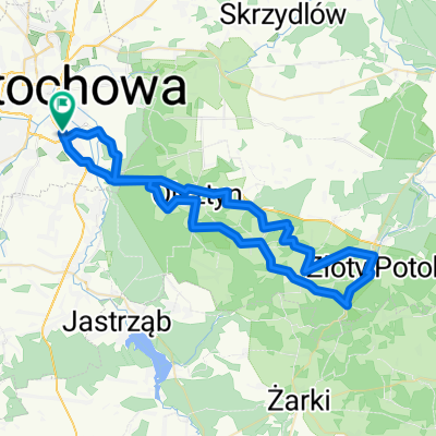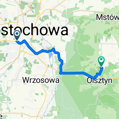
cały czas prosto
- 11.9 km
- 90 m
- 89 m
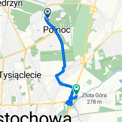
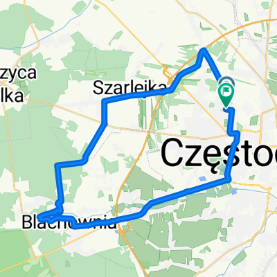
- Częstochowa, Silesian Voivodeship, Poland
A cycling route starting in Częstochowa, Silesian Voivodeship, Poland.
Overview
created this 7 years ago
Route quality
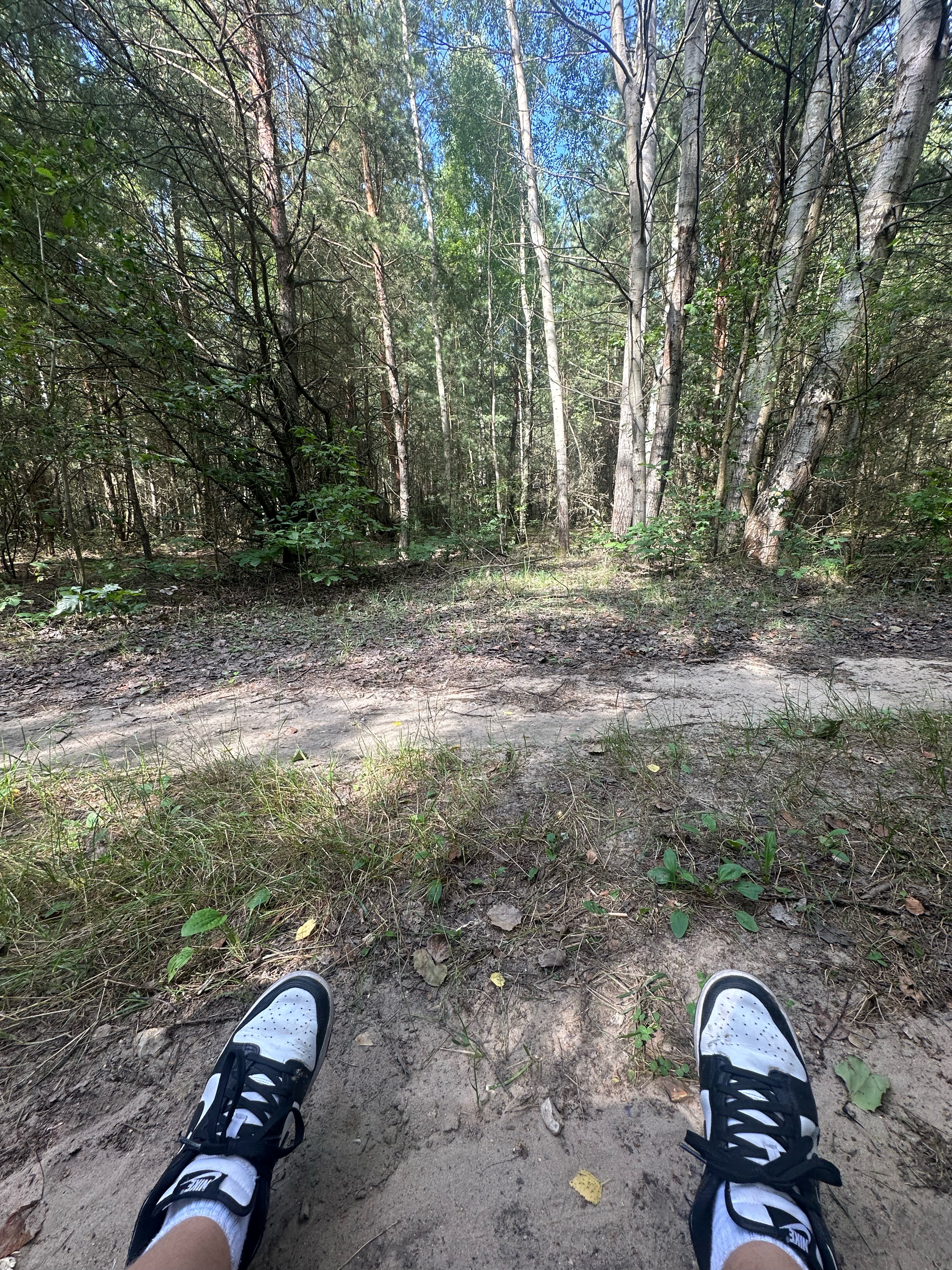
Quiet road
285.3 km
(21 %)
Road
190.2 km
(14 %)
Paved
951.1 km
(70 %)
Unpaved
40.8 km
(3 %)
Asphalt
937.5 km
(69 %)
Gravel
27.2 km
(2 %)
Continue with Bikemap
You would like to ride Czestochowa-Dubrovnik or customize it for your own trip? Here is what you can do with this Bikemap route:
Free trial for 3 days, or one-time payment. More about Bikemap Premium.
Discover more Premium features.
Get Bikemap PremiumFrom our community
Open it in the app