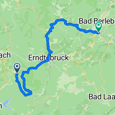
Lahn-Radweg
A cycling route starting in Hilchenbach, North Rhine-Westphalia, Germany.
Overview
About this route
Lützel - Neuwied
Access: Take the RE 9 from Ehrenfeld to Brachbach, then continue to Lützel with the RB93. VRS fare category 5 is valid up to Niederschelden. The ticket from there to Lützel can be purchased on the RB93, a bike ticket is not required.
Return from Neuwied Engers to Pulheim with the RE8 - VRS fare category 5 + bike ticket.
p. s.: Some sections have now been changed in the bike route signage. The recorded route on the towpath along the Lahn between Balduinstein and Laurenburg is indeed passable - this eliminates the steep ascent over Holzappel/Scheidt. Anyone who wants to avoid the steep climb (12%) to the Arnstein Monastery in Obernhof will have to, like it or not, take the B417 to Nassau.
- -:--
- Duration
- 268.2 km
- Distance
- 210 m
- Ascent
- 697 m
- Descent
- ---
- Avg. speed
- ---
- Max. altitude
Route quality
Waytypes & surfaces along the route
Waytypes
Track
99.2 km
(37 %)
Quiet road
59 km
(22 %)
Surfaces
Paved
225.3 km
(84 %)
Unpaved
18.8 km
(7 %)
Asphalt
214.5 km
(80 %)
Gravel
16.1 km
(6 %)
Continue with Bikemap
Use, edit, or download this cycling route
You would like to ride Lahn-Radweg or customize it for your own trip? Here is what you can do with this Bikemap route:
Free features
- Save this route as favorite or in collections
- Copy & plan your own version of this route
- Split it into stages to create a multi-day tour
- Sync your route with Garmin or Wahoo
Premium features
Free trial for 3 days, or one-time payment. More about Bikemap Premium.
- Navigate this route on iOS & Android
- Export a GPX / KML file of this route
- Create your custom printout (try it for free)
- Download this route for offline navigation
Discover more Premium features.
Get Bikemap PremiumFrom our community
Other popular routes starting in Hilchenbach
deko: Runde Dahlbruch Rhein-Weser Turm- Distance
- 46.1 km
- Ascent
- 784 m
- Descent
- 785 m
- Location
- Hilchenbach, North Rhine-Westphalia, Germany
Hilchenbach Panoramaweg.- Distance
- 30.7 km
- Ascent
- 555 m
- Descent
- 555 m
- Location
- Hilchenbach, North Rhine-Westphalia, Germany
2017 - Lahnradweg - Übersicht- Distance
- 155.9 km
- Ascent
- 173 m
- Descent
- 594 m
- Location
- Hilchenbach, North Rhine-Westphalia, Germany
Eder- und Fuldaradweg- Distance
- 350.1 km
- Ascent
- 876 m
- Descent
- 584 m
- Location
- Hilchenbach, North Rhine-Westphalia, Germany
Ederauen-Radweg (1)- Distance
- 62.8 km
- Ascent
- 231 m
- Descent
- 461 m
- Location
- Hilchenbach, North Rhine-Westphalia, Germany
LAHN Radweg- Distance
- 261.7 km
- Ascent
- 309 m
- Descent
- 790 m
- Location
- Hilchenbach, North Rhine-Westphalia, Germany
Hilchenbach-Erndtebrück-Hilchenbach (Kurz)- Distance
- 29.4 km
- Ascent
- 582 m
- Descent
- 583 m
- Location
- Hilchenbach, North Rhine-Westphalia, Germany
Lahn-Radweg- Distance
- 268.2 km
- Ascent
- 210 m
- Descent
- 697 m
- Location
- Hilchenbach, North Rhine-Westphalia, Germany
Open it in the app


