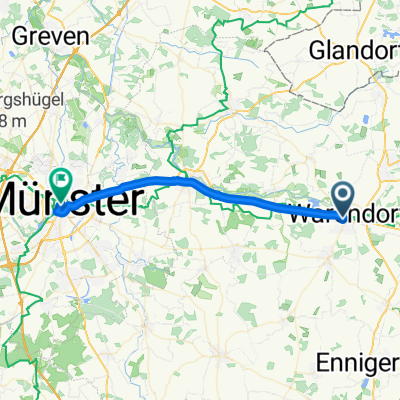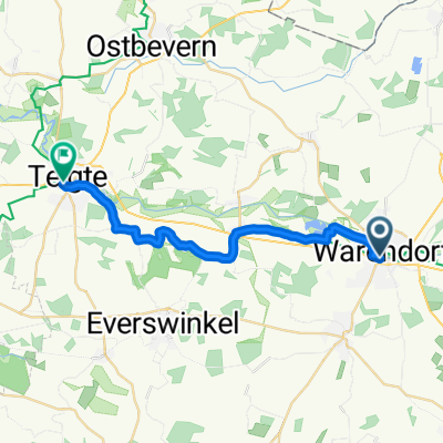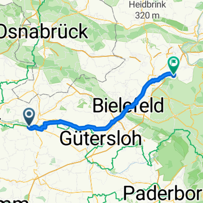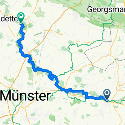
Warendorf - Saerbeck
- 57.8 km
- 21 m
- 33 m
- Warendorf, North Rhine-Westphalia, Germany
A cycling route starting in Warendorf, North Rhine-Westphalia, Germany.
Overview
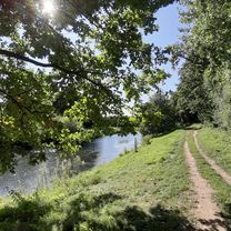
Small evening ride with a slight climb after the first half
created this 17 years ago
Route quality
Quiet road
32.3 km
(58 %)
Road
14.5 km
(26 %)
Paved
43.5 km
(78 %)
Unpaved
0.6 km
(1 %)
Asphalt
38.5 km
(69 %)
Paved (undefined)
5 km
(9 %)
Continue with Bikemap
You would like to ride Liener Pass von WAF 55km or customize it for your own trip? Here is what you can do with this Bikemap route:
Free trial for 3 days, or one-time payment. More about Bikemap Premium.
Discover more Premium features.
Get Bikemap PremiumFrom our community
Open it in the app