

Traunradweg
A cycling route starting in Bad Aussee, Styria, Austria.
Overview
About this route
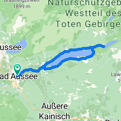
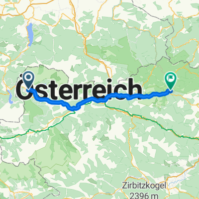
Traunradweg vom Ursprung Toplitzsee,Kammersee bis Linz
- -:--
- Duration
- 219.3 km
- Distance
- 431 m
- Ascent
- 823 m
- Descent
- ---
- Avg. speed
- ---
- Max. altitude
Continue with Bikemap
Use, edit, or download this cycling route
You would like to ride Traunradweg or customize it for your own trip? Here is what you can do with this Bikemap route:
Free features
- Save this route as favorite or in collections
- Copy & plan your own version of this route
- Split it into stages to create a multi-day tour
- Sync your route with Garmin or Wahoo
Premium features
Free trial for 3 days, or one-time payment. More about Bikemap Premium.
- Navigate this route on iOS & Android
- Export a GPX / KML file of this route
- Create your custom printout (try it for free)
- Download this route for offline navigation
Discover more Premium features.
Get Bikemap PremiumFrom our community
Other popular routes starting in Bad Aussee
 okolo grundlesee
- Distance
- 24.7 km
- Ascent
- 658 m
- Descent
- 664 m
- Location
- Bad Aussee, Styria, Austria
 SKG lang 3: Gößl - Fischerndorf; 40,6km 740hm
- Distance
- 40.6 km
- Ascent
- 824 m
- Descent
- 825 m
- Location
- Bad Aussee, Styria, Austria
 59-HALLSTATT RUNDE
- Distance
- 57.9 km
- Ascent
- 1,415 m
- Descent
- 1,412 m
- Location
- Bad Aussee, Styria, Austria
 Steady ride in Hallstatt
- Distance
- 13.2 km
- Ascent
- 215 m
- Descent
- 390 m
- Location
- Bad Aussee, Styria, Austria
 Bad Aussee-Hieflau
- Distance
- 86.6 km
- Ascent
- 533 m
- Descent
- 673 m
- Location
- Bad Aussee, Styria, Austria
 Hütteneckalm UL
- Distance
- 16.8 km
- Ascent
- 818 m
- Descent
- 99 m
- Location
- Bad Aussee, Styria, Austria
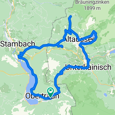 Obertraun a okolo Hoher Sarsteinu
- Distance
- 61.6 km
- Ascent
- 959 m
- Descent
- 958 m
- Location
- Bad Aussee, Styria, Austria
 Long bike tour through Obertraun
- Distance
- 91.3 km
- Ascent
- 489 m
- Descent
- 489 m
- Location
- Bad Aussee, Styria, Austria
Open it in the app