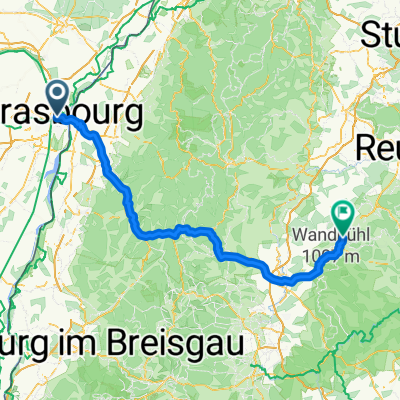
2010, Tag 2,dunkelschwarz, Strasbourg-Mulhouse
- 185.5 km
- 835 m
- 734 m
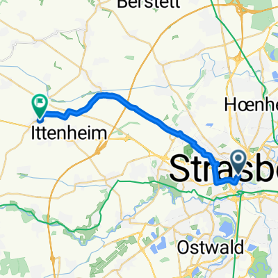
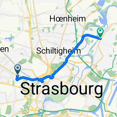
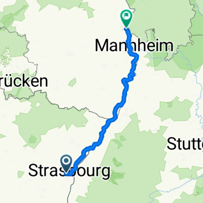
- Strasbourg, Grand Est, France
A cycling route starting in Strasbourg, Grand Est, France.
Overview
Strasbourg - Koblenz / Bingen - Mainz
created this 7 years ago
Route quality
Path
140.9 km
(29 %)
Cycleway
82.6 km
(17 %)
Paved
417.9 km
(86 %)
Unpaved
9.7 km
(2 %)
Asphalt
374.2 km
(77 %)
Paved (undefined)
29.2 km
(6 %)
Route highlights
Saverne 52km
Sarrebourg 35 / 87km
Saarbrücken 93 / 180km
Hilbringen (Merzig) 61 / 241km
Saarburg 52 / 293km
Trier 26 / 319km
Neumagen-Dhron 49 / 368km
Traben-Trarbach 46 / 414km
Cochem 55 / 469km
Koblenz 51 / 520km
Continue with Bikemap
You would like to ride 2005 Saar - Mosel or customize it for your own trip? Here is what you can do with this Bikemap route:
Free trial for 3 days, or one-time payment. More about Bikemap Premium.
Discover more Premium features.
Get Bikemap PremiumFrom our community
Open it in the app