Geneva Cycling to Base Lausanne
- 81.8 km
- 616 m
- 580 m
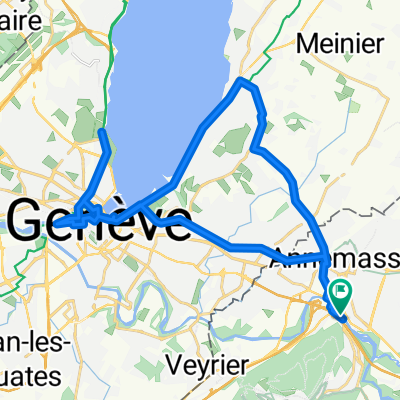
- Étrembières, Auvergne-Rhône-Alpes, France
A cycling route starting in Étrembières, Auvergne-Rhône-Alpes, France.
Overview
Route Very Hard de Serge avec un nom cool!
created this 7 years ago
Route quality
Path
4.1 km
82 %
Track
0.8 km
16 %
Quiet road
0.1 km
2 %
Paved
0.1 km
(2 %)
Unpaved
0.7 km
(14 %)
Gravel
0.4 km
8 %
Ground
0.3 km
6 %
Continue with Bikemap
You would like to ride Botoela_3 or customize it for your own trip? Here is what you can do with this Bikemap route:
Free trial for 3 days, or one-time payment. More about Bikemap Premium.
Discover more Premium features.
Get Bikemap PremiumFrom our community
Open it in the app