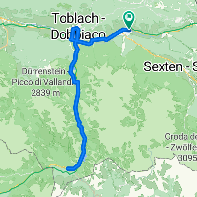
Recording from 9 Gennaio 12:53 PM
- 7.7 km
- 219 m
- 271 m
- Innichen, Trentino-Alto Adige, Italy
A cycling route starting in Innichen, Trentino-Alto Adige, Italy.
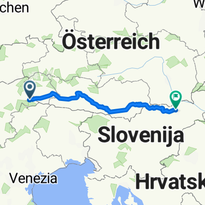
Overview
created this 7 years ago


Route quality
Quiet road
8.8 km
(27 %)
Cycleway
7.5 km
(23 %)
Paved
28.6 km
(88 %)
Unpaved
3.6 km
(11 %)
Asphalt
28.6 km
(88 %)
Gravel
3.3 km
(10 %)
Continue with Bikemap
You would like to ride 05.09.18 Tre Cime or customize it for your own trip? Here is what you can do with this Bikemap route:
Free trial for 3 days, or one-time payment. More about Bikemap Premium.
Discover more Premium features.
Get Bikemap PremiumFrom our community
Open it in the app