Overview
About this route
- -:--
- Duration
- 79.9 km
- Distance
- 2,514 m
- Ascent
- 2,490 m
- Descent
- ---
- Avg. speed
- 1,447 m
- Max. altitude
Part of
2020
13 stages
Route quality
Waytypes & surfaces along the route
Waytypes
Road
40.7 km
(51 %)
Cycleway
4.8 km
(6 %)
Surfaces
Paved
60.7 km
(76 %)
Unpaved
0.8 km
(1 %)
Asphalt
60.7 km
(76 %)
Loose gravel
0.8 km
(1 %)
Undefined
18.4 km
(23 %)
Continue with Bikemap
Use, edit, or download this cycling route
You would like to ride 22-04 or customize it for your own trip? Here is what you can do with this Bikemap route:
Free features
- Save this route as favorite or in collections
- Copy & plan your own version of this route
- Sync your route with Garmin or Wahoo
Premium features
Free trial for 3 days, or one-time payment. More about Bikemap Premium.
- Navigate this route on iOS & Android
- Export a GPX / KML file of this route
- Create your custom printout (try it for free)
- Download this route for offline navigation
Discover more Premium features.
Get Bikemap PremiumFrom our community
Other popular routes starting in Saint-Hilaire
- chartreuse
- Distance
- 38.6 km
- Ascent
- 1,278 m
- Descent
- 1,770 m
- Location
- Saint-Hilaire, Auvergne-Rh么ne-Alpes, France
- la diat
- Distance
- 2.5 km
- Ascent
- 91 m
- Descent
- 93 m
- Location
- Saint-Hilaire, Auvergne-Rh么ne-Alpes, France
- Tour du village
- Distance
- 1.3 km
- Ascent
- 49 m
- Descent
- 50 m
- Location
- Saint-Hilaire, Auvergne-Rh么ne-Alpes, France
- Chapelle St Bruno
- Distance
- 22.8 km
- Ascent
- 955 m
- Descent
- 955 m
- Location
- Saint-Hilaire, Auvergne-Rh么ne-Alpes, France
- Auberge du Charmant Som
- Distance
- 35.4 km
- Ascent
- 980 m
- Descent
- 978 m
- Location
- Saint-Hilaire, Auvergne-Rh么ne-Alpes, France
- 22-04
- Distance
- 79.9 km
- Ascent
- 2,514 m
- Descent
- 2,490 m
- Location
- Saint-Hilaire, Auvergne-Rh么ne-Alpes, France
- Chapelle St Bruno
- Distance
- 14.4 km
- Ascent
- 578 m
- Descent
- 573 m
- Location
- Saint-Hilaire, Auvergne-Rh么ne-Alpes, France
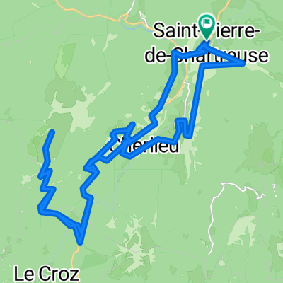
- CduSoleil tronc. I-21
- Distance
- 16.1 km
- Ascent
- 570 m
- Descent
- 416 m
- Location
- Saint-Hilaire, Auvergne-Rh么ne-Alpes, France
Open it in the app