LE TEICH - CISSAC ET RETOUR EN TRIKE
- 90.3 km
- 74 m
- 57 m
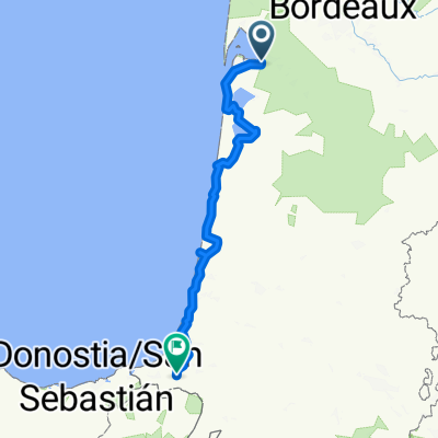
- Le Teich, Nouvelle-Aquitaine, France
A cycling route starting in Le Teich, Nouvelle-Aquitaine, France.
Overview
Western Europe Tour. Stage 13
Le Teich - Biganos - Pessac - Bordeaux - Eysines - Saint Médard en Jalles - Lacanau - Talaris - Carcans Plage
125.3 km
470 m total positive elevation gain
created this 7 years ago
Route quality
Cycleway
81.5 km
65 %
Quiet road
7.5 km
6 %
Paved
102.8 km
(82 %)
Unpaved
5 km
(4 %)
Asphalt
99 km
79 %
Gravel
5 km
4 %
Route highlights
Plaza de la República
Grosse Cloche
Puente de Piedra
Porte Cailhau
Catedral de San Andrés
Plaza del Parlamento
Plaza de la Bolsa
Espejo del Agua
Plaza de Quinconces
Camping de L'Océan Carcans
Continue with Bikemap
You would like to ride Etapa 013C (Le Teich - Carcans Plage) or customize it for your own trip? Here is what you can do with this Bikemap route:
Free trial for 3 days, or one-time payment. More about Bikemap Premium.
Discover more Premium features.
Get Bikemap PremiumFrom our community
Open it in the app