

Etapa 016C (Le Rocher - Les Moutiers en Retz)
A cycling route starting in Château-d'Olonne, Pays de la Loire Region, France.
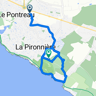
Overview
About this route
Vuelta a Europa occidental. Etapa 16
Le Rocher - Saint Vincent sur Jard - La Guittière - Port Bourgenay - Les Sables d'Olonne - Bretignolles sur Mer - Saint Gilles Croix de Vie - Saint Hilaire de Riez - Saint Jean de Monts - Notre Dame de Monts - Le Barre de Monts - Beauvoir sur Mer - Les Moutiers en Retz
161.3 km
410 m desnivel acumulado positivo
- -:--
- Duration
- 161.3 km
- Distance
- 408 m
- Ascent
- 414 m
- Descent
- ---
- Avg. speed
- 27 m
- Max. altitude

Route quality
Waytypes & surfaces along the route
Waytypes
Cycleway
58.1 km
(36 %)
Quiet road
43.6 km
(27 %)
Surfaces
Paved
66.1 km
(41 %)
Unpaved
51.6 km
(32 %)
Asphalt
64.5 km
(40 %)
Gravel
46.8 km
(29 %)
Route highlights
Points of interest along the route
Point of interest after 71.9 km
Iglesia de la Santa Cruz
Point of interest after 107.5 km
Si hay marea baja, cruzar por el Passage du Gois (seguir D38)
Accommodation after 161.3 km
Camping de l'Hermitage des Dunes
Continue with Bikemap
Use, edit, or download this cycling route
You would like to ride Etapa 016C (Le Rocher - Les Moutiers en Retz) or customize it for your own trip? Here is what you can do with this Bikemap route:
Free features
- Save this route as favorite or in collections
- Copy & plan your own version of this route
- Split it into stages to create a multi-day tour
- Sync your route with Garmin or Wahoo
Premium features
Free trial for 3 days, or one-time payment. More about Bikemap Premium.
- Navigate this route on iOS & Android
- Export a GPX / KML file of this route
- Create your custom printout (try it for free)
- Download this route for offline navigation
Discover more Premium features.
Get Bikemap PremiumFrom our community
Other popular routes starting in Château-d'Olonne
 château - île d'Olonne - Saint Mathurin - château
- Distance
- 30.3 km
- Ascent
- 176 m
- Descent
- 173 m
- Location
- Château-d'Olonne, Pays de la Loire Region, France
 XPT 04J Sables d'Olonne La Rochelle
- Distance
- 110.8 km
- Ascent
- 88 m
- Descent
- 103 m
- Location
- Château-d'Olonne, Pays de la Loire Region, France
 Tout droit à l'intérieur Talmont-Saint-Hilaire
- Distance
- 5.6 km
- Ascent
- 152 m
- Descent
- 105 m
- Location
- Château-d'Olonne, Pays de la Loire Region, France
 nono port de la guittiere
- Distance
- 15.8 km
- Ascent
- 65 m
- Descent
- 86 m
- Location
- Château-d'Olonne, Pays de la Loire Region, France
 Etapa 016C (Le Rocher - Les Moutiers en Retz)
- Distance
- 161.3 km
- Ascent
- 408 m
- Descent
- 414 m
- Location
- Château-d'Olonne, Pays de la Loire Region, France
 forêt Château-d’Olonne
- Distance
- 7.2 km
- Ascent
- 90 m
- Descent
- 98 m
- Location
- Château-d'Olonne, Pays de la Loire Region, France
 2016J03Soir : Casino Sables d'Olonne
- Distance
- 1.8 km
- Ascent
- 8 m
- Descent
- 8 m
- Location
- Château-d'Olonne, Pays de la Loire Region, France
 château - bourgenay - château
- Distance
- 29.1 km
- Ascent
- 146 m
- Descent
- 143 m
- Location
- Château-d'Olonne, Pays de la Loire Region, France
Open it in the app