
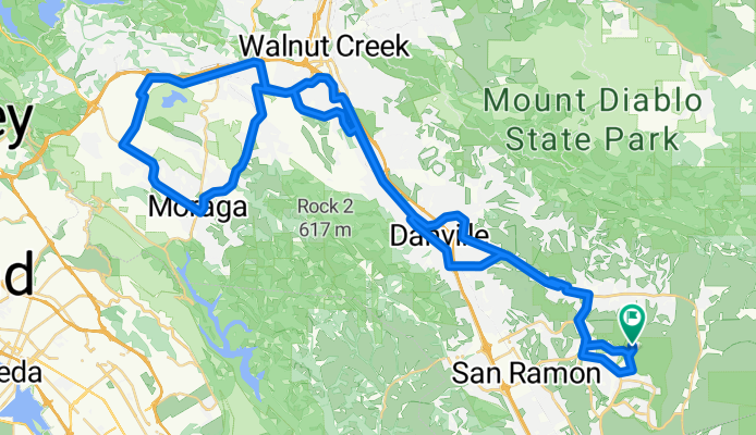
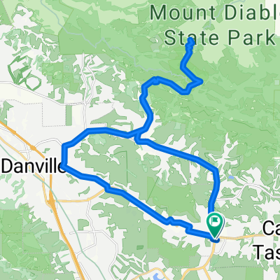
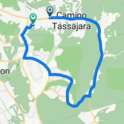
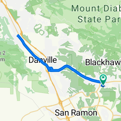
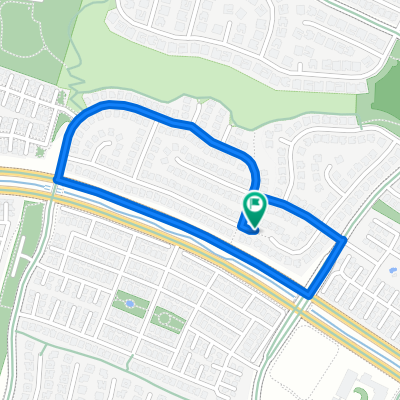
Moraga
A cycling route starting in Blackhawk, California, United States of America.
Overview
About this route
- -:--
- Duration
- 79.5 km
- Distance
- 457 m
- Ascent
- 457 m
- Descent
- ---
- Avg. speed
- ---
- Max. altitude

Route quality
Waytypes & surfaces along the route
Waytypes
Busy road
36.7 km
(46 %)
Road
17.2 km
(22 %)
Surfaces
Paved
21.7 km
(27 %)
Asphalt
17.5 km
(22 %)
Paved (undefined)
4.2 km
(5 %)
Undefined
57.8 km
(73 %)
Continue with Bikemap
Use, edit, or download this cycling route
You would like to ride Moraga or customize it for your own trip? Here is what you can do with this Bikemap route:
Free features
- Save this route as favorite or in collections
- Copy & plan your own version of this route
- Sync your route with Garmin or Wahoo
Premium features
Free trial for 3 days, or one-time payment. More about Bikemap Premium.
- Navigate this route on iOS & Android
- Export a GPX / KML file of this route
- Create your custom printout (try it for free)
- Download this route for offline navigation
Discover more Premium features.
Get Bikemap PremiumFrom our community
Other popular routes starting in Blackhawk
 Mt. Diablo - Virtual Hammer Fest - ZWIFT
- Distance
- 32 km
- Ascent
- 615 m
- Descent
- 616 m
- Location
- Blackhawk, California, United States of America
 4036–4052 Camino Tassajara, Danville to 301 Mountain Ridge Dr, Danville
- Distance
- 19.6 km
- Ascent
- 125 m
- Descent
- 152 m
- Location
- Blackhawk, California, United States of America
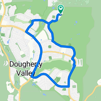
 301 Mountain Ridge Dr, Danville to 301 Mountain Ridge Dr, Danville
- Distance
- 27.3 km
- Ascent
- 127 m
- Descent
- 136 m
- Location
- Blackhawk, California, United States of America
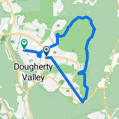
 Windemere Loop
- Distance
- 11 km
- Ascent
- 248 m
- Descent
- 250 m
- Location
- Blackhawk, California, United States of America
 Route from 11401–11435 Windemere Pkwy, San Ramon
- Distance
- 13 km
- Ascent
- 13 m
- Descent
- 11 m
- Location
- Blackhawk, California, United States of America
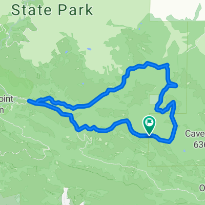 Mt Diablo Curry Pt loop
- Distance
- 10.1 km
- Ascent
- 331 m
- Descent
- 332 m
- Location
- Blackhawk, California, United States of America
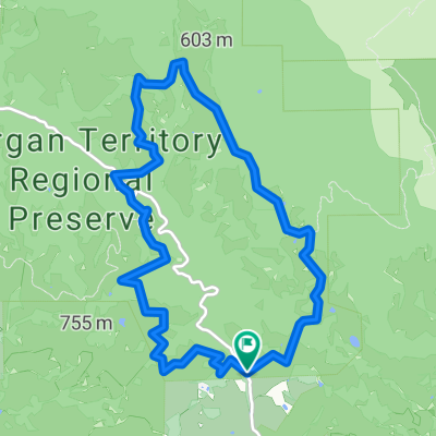 Morgan Territory Blue Oak
- Distance
- 11.1 km
- Ascent
- 298 m
- Descent
- 301 m
- Location
- Blackhawk, California, United States of America
 Home Test Route
- Distance
- 1.9 km
- Ascent
- 62 m
- Descent
- 62 m
- Location
- Blackhawk, California, United States of America
Open it in the app