

Vom Saalestrand ins Havelland
A cycling route starting in Bad Dürrenberg, Saxony-Anhalt, Germany.
Overview
About this route
Along the lower Saale and Elbe, via the Elbe-Havel Canal into the Havelland
- -:--
- Duration
- 254.7 km
- Distance
- 85 m
- Ascent
- 154 m
- Descent
- ---
- Avg. speed
- ---
- Max. altitude

Route quality
Waytypes & surfaces along the route
Waytypes
Path
63.7 km
(25 %)
Track
53.5 km
(21 %)
Surfaces
Paved
196.1 km
(77 %)
Unpaved
30.6 km
(12 %)
Asphalt
178.3 km
(70 %)
Concrete
17.8 km
(7 %)
Continue with Bikemap
Use, edit, or download this cycling route
You would like to ride Vom Saalestrand ins Havelland or customize it for your own trip? Here is what you can do with this Bikemap route:
Free features
- Save this route as favorite or in collections
- Copy & plan your own version of this route
- Split it into stages to create a multi-day tour
- Sync your route with Garmin or Wahoo
Premium features
Free trial for 3 days, or one-time payment. More about Bikemap Premium.
- Navigate this route on iOS & Android
- Export a GPX / KML file of this route
- Create your custom printout (try it for free)
- Download this route for offline navigation
Discover more Premium features.
Get Bikemap PremiumFrom our community
Other popular routes starting in Bad Dürrenberg
 Vom Saalestrand ins Havelland
- Distance
- 254.7 km
- Ascent
- 85 m
- Descent
- 154 m
- Location
- Bad Dürrenberg, Saxony-Anhalt, Germany
 Am Bahnhof 2, Bad Dürrenberg nach Zum Bahnhof 2, Weißenfels
- Distance
- 16.1 km
- Ascent
- 153 m
- Descent
- 151 m
- Location
- Bad Dürrenberg, Saxony-Anhalt, Germany
 Bad Dürrenberg-Süsser See-Bad Dürrenberg
- Distance
- 109.2 km
- Ascent
- 234 m
- Descent
- 233 m
- Location
- Bad Dürrenberg, Saxony-Anhalt, Germany
 Zwischen Weißenfels und Geiseltalsee
- Distance
- 53.5 km
- Ascent
- 325 m
- Descent
- 317 m
- Location
- Bad Dürrenberg, Saxony-Anhalt, Germany
 5a_Bad_Dürrenberg_Halle
- Distance
- 20.4 km
- Ascent
- 56 m
- Descent
- 59 m
- Location
- Bad Dürrenberg, Saxony-Anhalt, Germany
 Bad Dürrenberg-Runstädter See-Goseck-Weißenfels-Bad Dürrenberg
- Distance
- 57.6 km
- Ascent
- 225 m
- Descent
- 225 m
- Location
- Bad Dürrenberg, Saxony-Anhalt, Germany
 BAD DUERENBERG HALLE
- Distance
- 55.4 km
- Ascent
- 158 m
- Descent
- 158 m
- Location
- Bad Dürrenberg, Saxony-Anhalt, Germany
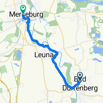 Merseburg bahnhof-Bad Durrenberg bahnhof
- Distance
- 11 km
- Ascent
- 44 m
- Descent
- 44 m
- Location
- Bad Dürrenberg, Saxony-Anhalt, Germany
Open it in the app