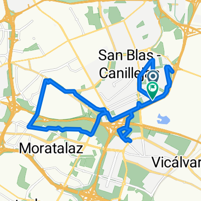
anillo ciclista madrid. este norte oeste
- 26.8 km
- 191 m
- 235 m
- San Blas-Canillejas, Madrid, Spain
A cycling route starting in San Blas-Canillejas, Madrid, Spain.
Overview
Starting from San Blas, we take the Anillo Ciclista southwards to the Manzanares linear park. We enter the park and at the roundabout take the left path to cross the river, then follow the bike lane that goes along the river to the left (south). We continue on this lane and cross the river again. Note, you have to leave the path and climb a small hill (2 meters) to take the route alongside the gardens by the AVE tracks, instead of following the river. Then we pass above the railway via an elevated bridge. We follow the well-marked path following the signs for the 'Camino de Uclés' (in red), which run opposite to those for the Camino de Santiago (in yellow). On the path, we pass a slightly flooded area (about 10 meters) and then cross a stream (can be crossed without getting wet). We follow the path until Rivas Vaciamadrid, then get onto asphalt to cross underneath the A3 and enter Rivas. There we weave through streets (or use the bike lane) along Avenida de las Naciones, Avenida de Velazquez, and Avenida de José del Hierro until turning right (and uphill) onto Avenida de los Almendros to leave Rivas and find a roundabout with a sign for Vicálvaro. There we take the road, pass over the M50 and cross the Cañada Real. We continue on the road to a roundabout and follow the sign for Vicálvaro. We pass through Vicálvaro via the streets and reach the bridges over the R3 and M40, returning to the Anillo Ciclista again.
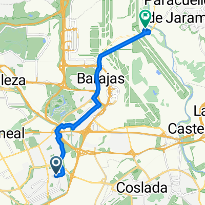
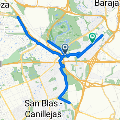
Very varied route: Anillo Ciclista, bike lane through Villaverde, wide path along the AVE, narrow path through Valdemingomez, wide path to Rivas, bike path and street riding through Rivas, a couple of kilometers on a road (with very little traffic), and street riding through Vicálvaro.
To the Caja Mágica, it's all downhill. The part on the Camino de Uclés is a gentle descent. The part in Rivas is uphill, then we descend to Vicálvaro, and then uphill again to the Anillo Ciclista. For 50 km, it's quite easy, although the climbs are at the end and you finish tired, but the first 35 km are so enjoyable you barely have to pedal.
created this 7 years ago
Route highlights
Seguir el río por este lado, aunque creo que también se puede ir por el otro.
Ojo al desvío que hay que salirse del camino en esta curva e ir hacia la vía del AVE.

Continue with Bikemap
You would like to ride Caja Mágica, camino Uclés, Rivas, Vicalvaro or customize it for your own trip? Here is what you can do with this Bikemap route:
Free trial for 3 days, or one-time payment. More about Bikemap Premium.
Discover more Premium features.
Get Bikemap PremiumFrom our community
Open it in the app