Etapa 044B (Veverská Bítýška - Lednice)
A cycling route starting in Veverská Bítýška, South Moravian, Czechia.
Overview
About this route
Vuelta a Europa occidental. Etapa 44
Veverská Bítýška - Brno - Rebešovice - Rajhradice - Opatovice - Židlochovice - Žabčice - Přísnotice - Vranovice - Přibice - Ivaň - Pasohlávky - Brod nad Dyjí - Novosedly - Nový Přerov - Březí - Mikulov - Valtice - Lednice
134.7 km
740 m desnivel positivo acumulado
- -:--
- Duration
- 134.7 km
- Distance
- 991 m
- Ascent
- 1,056 m
- Descent
- ---
- Avg. speed
- 327 m
- Avg. speed
Route quality
Waytypes & surfaces along the route
Waytypes
Cycleway
37.4 km
(28 %)
Road
24.2 km
(18 %)
Surfaces
Paved
102.3 km
(76 %)
Unpaved
9 km
(7 %)
Asphalt
98.5 km
(73 %)
Gravel
4.4 km
(3 %)
Route highlights
Points of interest along the route
Point of interest after 6.2 km
Hrad Veveří
Point of interest after 25.8 km
Hrad Špilberk
Point of interest after 26.8 km
Náměstí Svobody
Point of interest after 27.1 km
Stará radnice
Point of interest after 27.2 km
Kašna Parnas
Point of interest after 27.2 km
Náměstí Zelný trh
Point of interest after 27.5 km
Katedrála svatých Petra a Pavla
Point of interest after 41 km
Benediktinský klášter Rajhrad
Point of interest after 50.4 km
Zamek Židlochovice
Point of interest after 104.6 km
Zámek Mikulov
Point of interest after 105 km
Městský úřad Mikulov
Point of interest after 105 km
Dietrichsteinská hrobka
Point of interest after 119.5 km
Kolonáda na Reistne
Point of interest after 121.6 km
Valtice - Městský úřad
Point of interest after 122.3 km
Státní zámek Valtice
Point of interest after 126.8 km
Rendezvous - Dianin chrám
Point of interest after 130.4 km
Chrám Tří Grácií
Continue with Bikemap
Use, edit, or download this cycling route
You would like to ride Etapa 044B (Veverská Bítýška - Lednice) or customize it for your own trip? Here is what you can do with this Bikemap route:
Free features
- Save this route as favorite or in collections
- Copy & plan your own version of this route
- Sync your route with Garmin or Wahoo
Premium features
Free trial for 3 days, or one-time payment. More about Bikemap Premium.
- Navigate this route on iOS & Android
- Export a GPX / KML file of this route
- Create your custom printout (try it for free)
- Download this route for offline navigation
Discover more Premium features.
Get Bikemap PremiumFrom our community
Other popular routes starting in Veverská Bítýška
- #familimoravy1
- Distance
- 67 km
- Ascent
- 117 m
- Descent
- 215 m
- Location
- Veverská Bítýška, South Moravian, Czechia
- Údolí bílého potoka z chaty
- Distance
- 42.7 km
- Ascent
- 545 m
- Descent
- 545 m
- Location
- Veverská Bítýška, South Moravian, Czechia
- Veverska Bityska - Poysdorf
- Distance
- 104.7 km
- Ascent
- 304 m
- Descent
- 330 m
- Location
- Veverská Bítýška, South Moravian, Czechia
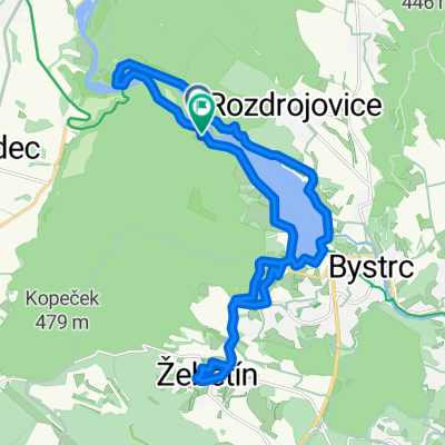
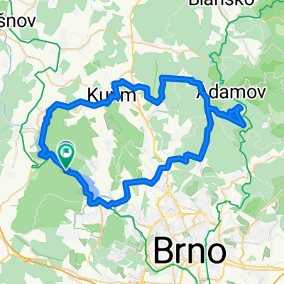
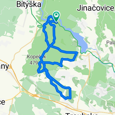
- Okolo Brna - 22.8.2010
- Distance
- 29.6 km
- Ascent
- 586 m
- Descent
- 579 m
- Location
- Veverská Bítýška, South Moravian, Czechia
- Vev. Bitýška - chata AN
- Distance
- 3.4 km
- Ascent
- 98 m
- Descent
- 28 m
- Location
- Veverská Bítýška, South Moravian, Czechia
- Rakovecká 83, Brno to Rakovecká 83, Brno
- Distance
- 15.2 km
- Ascent
- 297 m
- Descent
- 292 m
- Location
- Veverská Bítýška, South Moravian, Czechia
- Etapa 044B (Veverská Bítýška - Lednice)
- Distance
- 134.7 km
- Ascent
- 991 m
- Descent
- 1,056 m
- Location
- Veverská Bítýška, South Moravian, Czechia
- Etap 6, Vaverska Bityska - Zdar nad Sazavou
- Distance
- 78.1 km
- Ascent
- 1,301 m
- Descent
- 987 m
- Location
- Veverská Bítýška, South Moravian, Czechia
Open it in the app