

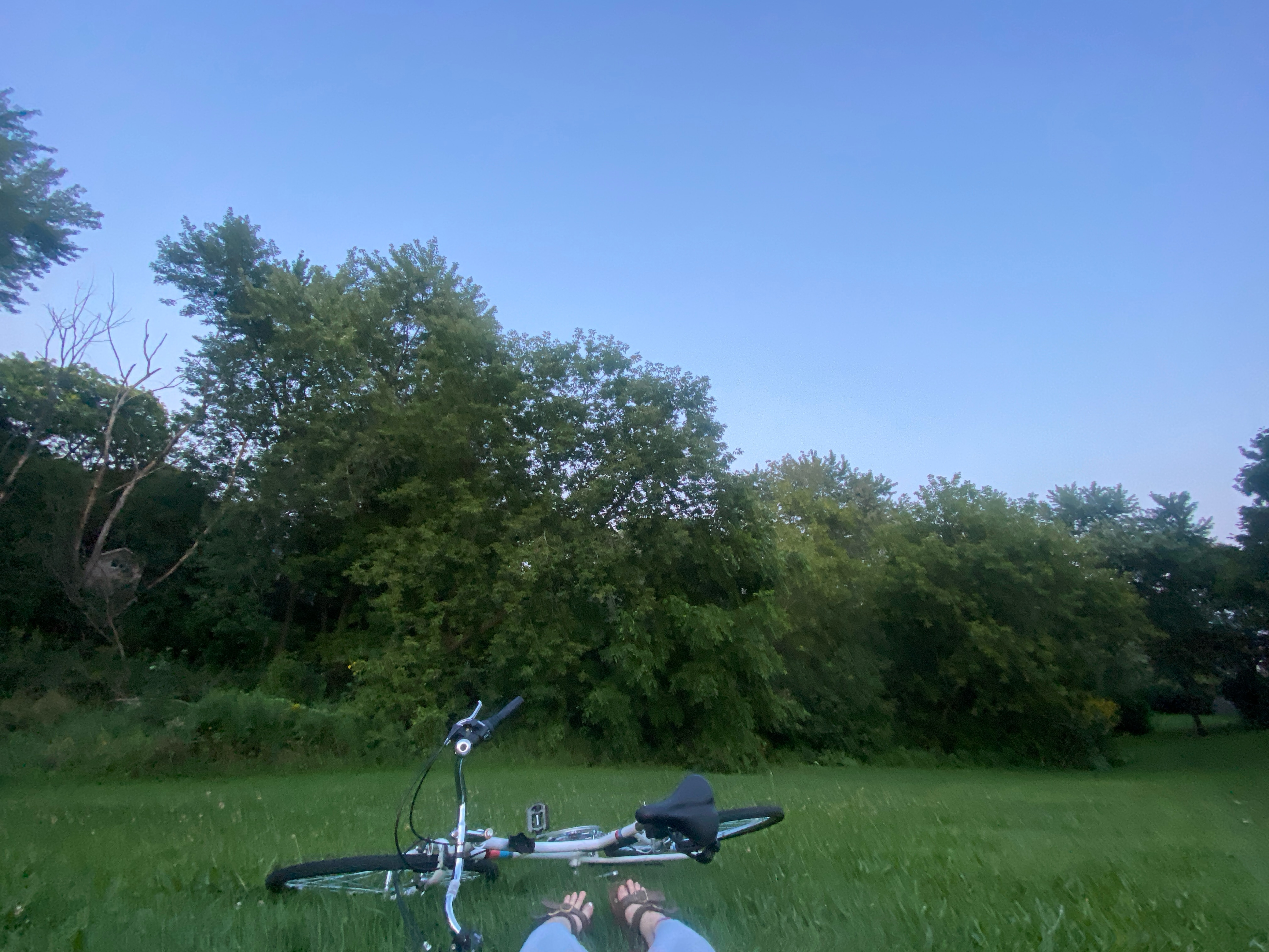
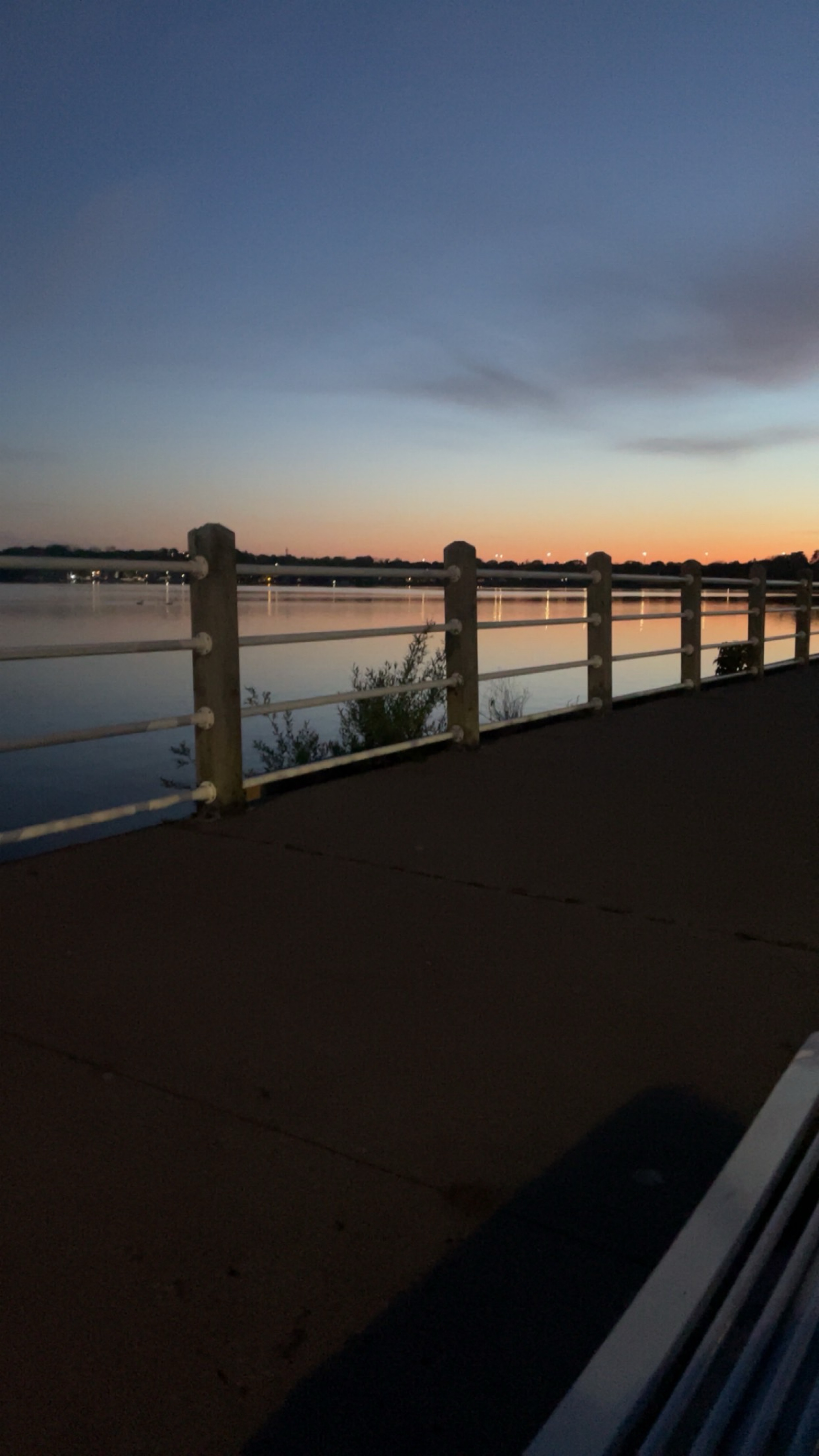
Ajax Waterfront Trail
A cycling route starting in Ajax, Ontario, Canada.
Overview
About this route
- -:--
- Duration
- 29 km
- Distance
- 87 m
- Ascent
- 80 m
- Descent
- ---
- Avg. speed
- ---
- Max. altitude

Route quality
Waytypes & surfaces along the route
Waytypes
Cycleway
25.3 km
(87 %)
Path
1.5 km
(5 %)
Surfaces
Paved
27.8 km
(96 %)
Unpaved
0.8 km
(3 %)
Asphalt
26.4 km
(91 %)
Wood
1.1 km
(4 %)
Continue with Bikemap
Use, edit, or download this cycling route
You would like to ride Ajax Waterfront Trail or customize it for your own trip? Here is what you can do with this Bikemap route:
Free features
- Save this route as favorite or in collections
- Copy & plan your own version of this route
- Sync your route with Garmin or Wahoo
Premium features
Free trial for 3 days, or one-time payment. More about Bikemap Premium.
- Navigate this route on iOS & Android
- Export a GPX / KML file of this route
- Create your custom printout (try it for free)
- Download this route for offline navigation
Discover more Premium features.
Get Bikemap PremiumFrom our community
Other popular routes starting in Ajax
 Winter paved path ride through Ajax, ON.
- Distance
- 29 km
- Ascent
- 87 m
- Descent
- 88 m
- Location
- Ajax, Ontario, Canada
 dim trail
- Distance
- 2.4 km
- Ascent
- 0 m
- Descent
- 7 m
- Location
- Ajax, Ontario, Canada
 Ajax to Union Go Station
- Distance
- 39.3 km
- Ascent
- 225 m
- Descent
- 226 m
- Location
- Ajax, Ontario, Canada
 Whitby to Port Hope
- Distance
- 72.9 km
- Ascent
- 260 m
- Descent
- 277 m
- Location
- Ajax, Ontario, Canada
 Pathride (Northwest Ajax Route)
- Distance
- 18.9 km
- Ascent
- 61 m
- Descent
- 62 m
- Location
- Ajax, Ontario, Canada
 Ajax, Whitby Oshawa path loop ride. (Cold Day)
- Distance
- 60.4 km
- Ascent
- 113 m
- Descent
- 112 m
- Location
- Ajax, Ontario, Canada
 Ajax to Eglinton and Warden (My Commute To Work)
- Distance
- 31.8 km
- Ascent
- 230 m
- Descent
- 190 m
- Location
- Ajax, Ontario, Canada
 beach
beach- Distance
- 6.9 km
- Ascent
- 34 m
- Descent
- 34 m
- Location
- Ajax, Ontario, Canada
Open it in the app