

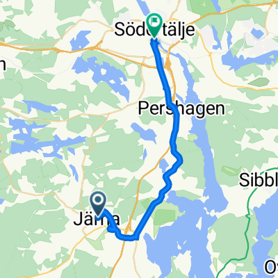
MTB Adventure 19km
A cycling route starting in Pershagen, Stockholm County, Sweden.
Overview
About this route
- -:--
- Duration
- 19 km
- Distance
- 183 m
- Ascent
- 185 m
- Descent
- ---
- Avg. speed
- ---
- Max. altitude

Continue with Bikemap
Use, edit, or download this cycling route
You would like to ride MTB Adventure 19km or customize it for your own trip? Here is what you can do with this Bikemap route:
Free features
- Save this route as favorite or in collections
- Copy & plan your own version of this route
- Sync your route with Garmin or Wahoo
Premium features
Free trial for 3 days, or one-time payment. More about Bikemap Premium.
- Navigate this route on iOS & Android
- Export a GPX / KML file of this route
- Create your custom printout (try it for free)
- Download this route for offline navigation
Discover more Premium features.
Get Bikemap PremiumFrom our community
Other popular routes starting in Pershagen
 Tveta 88km WKT
- Distance
- 88.6 km
- Ascent
- 253 m
- Descent
- 253 m
- Location
- Pershagen, Stockholm County, Sweden
 Jarna Kallfors
- Distance
- 9.8 km
- Ascent
- 77 m
- Descent
- 82 m
- Location
- Pershagen, Stockholm County, Sweden
 Malaren Day 1
- Distance
- 41.2 km
- Ascent
- 209 m
- Descent
- 230 m
- Location
- Pershagen, Stockholm County, Sweden
 SörmlandsledJärna
- Distance
- 14.5 km
- Ascent
- 158 m
- Descent
- 124 m
- Location
- Pershagen, Stockholm County, Sweden
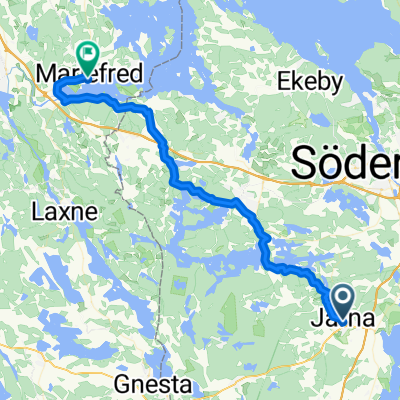
 Norrajärnvägsgatan 2, Järna to Södertälje
- Distance
- 18.2 km
- Ascent
- 194 m
- Descent
- 220 m
- Location
- Pershagen, Stockholm County, Sweden
 MTB adventure 2014
- Distance
- 21.4 km
- Ascent
- 192 m
- Descent
- 192 m
- Location
- Pershagen, Stockholm County, Sweden
 Hagagatan, Järna nach Klostergatan, Mariefred
- Distance
- 40.3 km
- Ascent
- 381 m
- Descent
- 428 m
- Location
- Pershagen, Stockholm County, Sweden
 near masnareb
- Distance
- 7.3 km
- Ascent
- 63 m
- Descent
- 59 m
- Location
- Pershagen, Stockholm County, Sweden
Open it in the app