

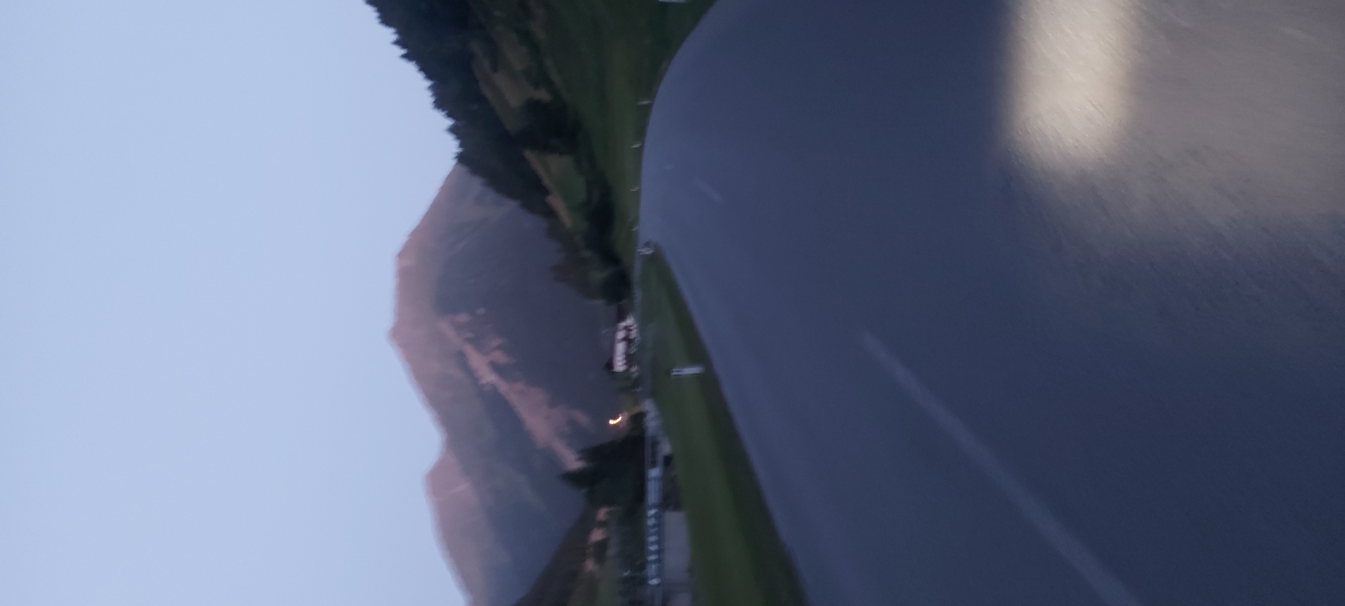
Rangger Köpfl
A cycling route starting in Oberperfuss, Tyrol, Austria.
Overview
About this route
Startpunkt und Endpunkt ist der Parkplatz der Bergbahn Ranggerköpfl ( "Peter Anich Bahn"). Achtung! Die Parkgebühr beträgt satte 6.- € (Stand 06/2020) und ist nur in Münzform begleichbar!! Da die Route am Hinweg stetig bergauf geht, ist es ratsam, den Akku-Verbrauch gut im Auge zubehalten!!!
- -:--
- Duration
- 24.4 km
- Distance
- 1,104 m
- Ascent
- 1,105 m
- Descent
- ---
- Avg. speed
- ---
- Max. altitude

Route quality
Waytypes & surfaces along the route
Waytypes
Track
16.9 km
(69 %)
Quiet road
6.7 km
(27 %)
Surfaces
Paved
3.4 km
(14 %)
Unpaved
14.5 km
(59 %)
Gravel
14.5 km
(59 %)
Asphalt
3.4 km
(14 %)
Undefined
6.5 km
(27 %)
Continue with Bikemap
Use, edit, or download this cycling route
You would like to ride Rangger Köpfl or customize it for your own trip? Here is what you can do with this Bikemap route:
Free features
- Save this route as favorite or in collections
- Copy & plan your own version of this route
- Sync your route with Garmin or Wahoo
Premium features
Free trial for 3 days, or one-time payment. More about Bikemap Premium.
- Navigate this route on iOS & Android
- Export a GPX / KML file of this route
- Create your custom printout (try it for free)
- Download this route for offline navigation
Discover more Premium features.
Get Bikemap PremiumFrom our community
Other popular routes starting in Oberperfuss
 4 Grinzens - Weidach
- Distance
- 99.7 km
- Ascent
- 3,002 m
- Descent
- 2,850 m
- Location
- Oberperfuss, Tyrol, Austria
 RCO Biker Abschlußrunde
- Distance
- 407.4 km
- Ascent
- 2,746 m
- Descent
- 2,745 m
- Location
- Oberperfuss, Tyrol, Austria
 Oberperfuss-Seefeld-Oberperfuss
- Distance
- 40 km
- Ascent
- 921 m
- Descent
- 916 m
- Location
- Oberperfuss, Tyrol, Austria
 peter-anich-weg
- Distance
- 21.3 km
- Ascent
- 597 m
- Descent
- 784 m
- Location
- Oberperfuss, Tyrol, Austria
 Runde über Kühtai ins Ötztal
- Distance
- 89.4 km
- Ascent
- 1,899 m
- Descent
- 1,938 m
- Location
- Oberperfuss, Tyrol, Austria
 Lüsens
- Distance
- 20.5 km
- Ascent
- 1,053 m
- Descent
- 237 m
- Location
- Oberperfuss, Tyrol, Austria
 Kammerland 2, Oberperfuss nach Brandstatt 21, Oberperfuss
- Distance
- 17.6 km
- Ascent
- 929 m
- Descent
- 927 m
- Location
- Oberperfuss, Tyrol, Austria
 Dickicht 15, Oberperfuss nach Inzinger Alm 1, Inzing
- Distance
- 13.9 km
- Ascent
- 1,100 m
- Descent
- 125 m
- Location
- Oberperfuss, Tyrol, Austria
Open it in the app