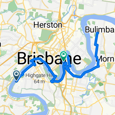
From West End to Kangaroo Point
- 21.5 km
- 177 m
- 182 m
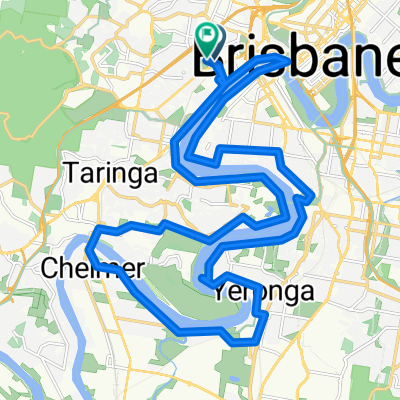
- Milton, Queensland, Australia
A cycling route starting in Milton, Queensland, Australia.
Overview
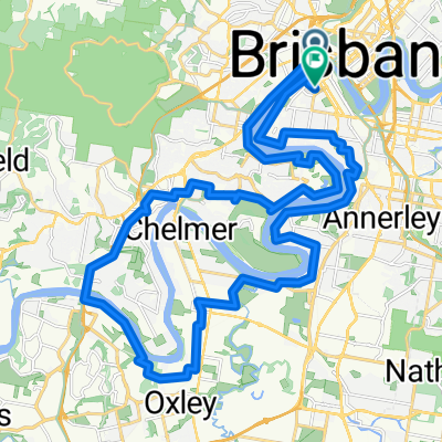
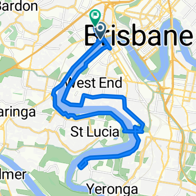
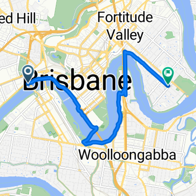
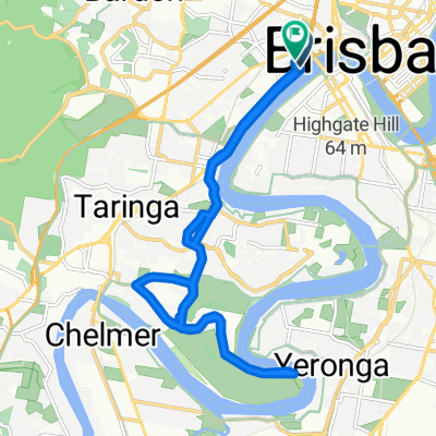
Annie street - Uni - oxley bike shop - kenmore - brookfield - long finger - short finger - highway-ambrose tracey - uni - 1/4 river loop - annie street
created this 7 years ago
Route quality
Quiet road
37.3 km
(36 %)
Road
28 km
(27 %)
Paved
97.4 km
(94 %)
Asphalt
62.2 km
(60 %)
Paved (undefined)
22.8 km
(22 %)
Continue with Bikemap
You would like to ride Brookfield 100 or customize it for your own trip? Here is what you can do with this Bikemap route:
Free trial for 3 days, or one-time payment. More about Bikemap Premium.
Discover more Premium features.
Get Bikemap PremiumFrom our community
Open it in the app