EDT 2025 officiel Bourg 2
- 97 km
- 3,941 m
- 3,454 m
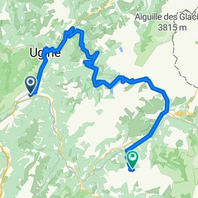
- Grignon, Auvergne-Rhône-Alpes, France
A cycling route starting in Grignon, Auvergne-Rhône-Alpes, France.
Overview
Albertville - Col de la Madeleine - Lacettes de Montvernier - St Martin d'arc
created this 7 years ago
Route quality
Road
11.8 km
(12 %)
Quiet road
5.9 km
(6 %)
Paved
72.6 km
(74 %)
Asphalt
72.6 km
(74 %)
Undefined
25.5 km
(26 %)
Route highlights
Climb starts - Col de Madeline - 25km - 1588m - summit 1900m
Col Summit - possible lunch/cafe stop if warm enough
Possible cafe stop - L'eterlou
Climb starts - Lacettes de Montvernier - 3km - 8% - 300m approx
Meeting point for people who don't do Lacettes.
Continue with Bikemap
You would like to ride G2N D2 Base Route or customize it for your own trip? Here is what you can do with this Bikemap route:
Free trial for 3 days, or one-time payment. More about Bikemap Premium.
Discover more Premium features.
Get Bikemap PremiumFrom our community
Open it in the app