

autours de Thionville
A cycling route starting in Knutange, Grand Est, France.
Overview
About this route
- -:--
- Duration
- 54.9 km
- Distance
- 268 m
- Ascent
- 268 m
- Descent
- ---
- Avg. speed
- ---
- Max. altitude
Route quality
Waytypes & surfaces along the route
Waytypes
Path
9.3 km
(17 %)
Quiet road
8.2 km
(15 %)
Surfaces
Paved
42.3 km
(77 %)
Asphalt
38.5 km
(70 %)
Paved (undefined)
2.7 km
(5 %)
Continue with Bikemap
Use, edit, or download this cycling route
You would like to ride autours de Thionville or customize it for your own trip? Here is what you can do with this Bikemap route:
Free features
- Save this route as favorite or in collections
- Copy & plan your own version of this route
- Sync your route with Garmin or Wahoo
Premium features
Free trial for 3 days, or one-time payment. More about Bikemap Premium.
- Navigate this route on iOS & Android
- Export a GPX / KML file of this route
- Create your custom printout (try it for free)
- Download this route for offline navigation
Discover more Premium features.
Get Bikemap PremiumFrom our community
Other popular routes starting in Knutange
 reprise tranquille
- Distance
- 41.2 km
- Ascent
- 267 m
- Descent
- 264 m
- Location
- Knutange, Grand Est, France
 autours de Thionville
- Distance
- 54.9 km
- Ascent
- 268 m
- Descent
- 268 m
- Location
- Knutange, Grand Est, France
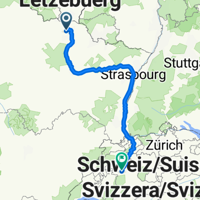 Rue du Docteur Gautier, Knutange à Rathausplatz, Berne
- Distance
- 508.7 km
- Ascent
- 2,723 m
- Descent
- 2,391 m
- Location
- Knutange, Grand Est, France
 Fontoy à 16 Rue de Lorraine, Algrange
- Distance
- 9.4 km
- Ascent
- 66 m
- Descent
- 59 m
- Location
- Knutange, Grand Est, France
 Rue de Metz, Fontoy à 30 Rue Sainte-Hélène, Hayange
- Distance
- 6.3 km
- Ascent
- 118 m
- Descent
- 104 m
- Location
- Knutange, Grand Est, France
Open it in the app