

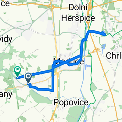
4. želešické KOLORÁDO
A cycling route starting in Želešice, South Moravian, Czechia.
Overview
About this route
- ročník podzimní cyklistické vyjížďky
- -:--
- Duration
- 28.3 km
- Distance
- 177 m
- Ascent
- 168 m
- Descent
- ---
- Avg. speed
- ---
- Max. altitude

Route quality
Waytypes & surfaces along the route
Waytypes
Track
11 km
(39 %)
Quiet road
9.3 km
(33 %)
Surfaces
Paved
14.2 km
(50 %)
Unpaved
9.1 km
(32 %)
Asphalt
14.2 km
(50 %)
Gravel
5.4 km
(19 %)
Continue with Bikemap
Use, edit, or download this cycling route
You would like to ride 4. želešické KOLORÁDO or customize it for your own trip? Here is what you can do with this Bikemap route:
Free features
- Save this route as favorite or in collections
- Copy & plan your own version of this route
- Sync your route with Garmin or Wahoo
Premium features
Free trial for 3 days, or one-time payment. More about Bikemap Premium.
- Navigate this route on iOS & Android
- Export a GPX / KML file of this route
- Create your custom printout (try it for free)
- Download this route for offline navigation
Discover more Premium features.
Get Bikemap PremiumFrom our community
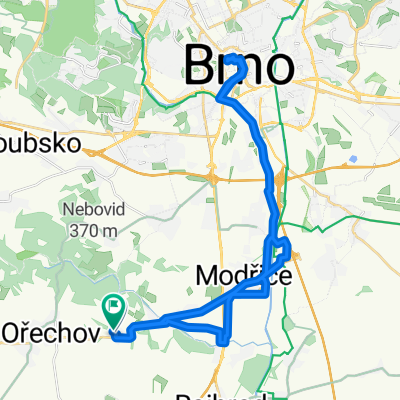
Other popular routes starting in Želešice
 Želešice - Výhon rozhledna
- Distance
- 34.9 km
- Ascent
- 284 m
- Descent
- 291 m
- Location
- Želešice, South Moravian, Czechia
 24. dubna do Petra Bezruče
- Distance
- 16.3 km
- Ascent
- 144 m
- Descent
- 181 m
- Location
- Želešice, South Moravian, Czechia
 Hajany do Hajany
- Distance
- 36 km
- Ascent
- 208 m
- Descent
- 248 m
- Location
- Želešice, South Moravian, Czechia
 Udolim Bobravy 1
- Distance
- 39.6 km
- Ascent
- 366 m
- Descent
- 366 m
- Location
- Želešice, South Moravian, Czechia
 Bobrava
- Distance
- 21.4 km
- Ascent
- 205 m
- Descent
- 205 m
- Location
- Želešice, South Moravian, Czechia
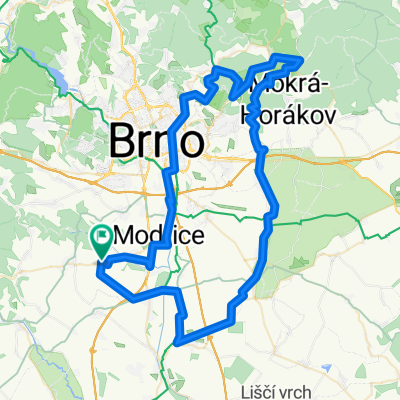 Hajany do Hajany
- Distance
- 87.2 km
- Ascent
- 582 m
- Descent
- 633 m
- Location
- Želešice, South Moravian, Czechia
 Želešíce - Hlína rozhledna a zpět
- Distance
- 33.5 km
- Ascent
- 416 m
- Descent
- 416 m
- Location
- Želešice, South Moravian, Czechia
 Kolorádo 2019 . 12.10.2019
- Distance
- 20.2 km
- Ascent
- 246 m
- Descent
- 237 m
- Location
- Želešice, South Moravian, Czechia
Open it in the app