


Farkaslyuk-Galyatető-Farkaslyuk
- 168.6 km
- 1,424 m
- 1,424 m
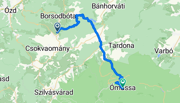
- Farkaslyuk, Borsod-Abauj Zemplen county, Hungary
A cycling route starting in Farkaslyuk, Borsod-Abauj Zemplen county, Hungary.
Overview
Kohászok Útja
Sáta
Ómassa
created this 7 years ago
Route quality
Quiet road
7.9 km
(33 %)
Track
7.7 km
(32 %)
Paved
7.9 km
(33 %)
Unpaved
6.9 km
(29 %)
Asphalt
7.9 km
(33 %)
Ground
4.3 km
(18 %)
Continue with Bikemap
You would like to ride Kohászok Útja 5 or customize it for your own trip? Here is what you can do with this Bikemap route:
Free trial for 3 days, or one-time payment. More about Bikemap Premium.
Discover more Premium features.
Get Bikemap PremiumFrom our community
Open it in the app


