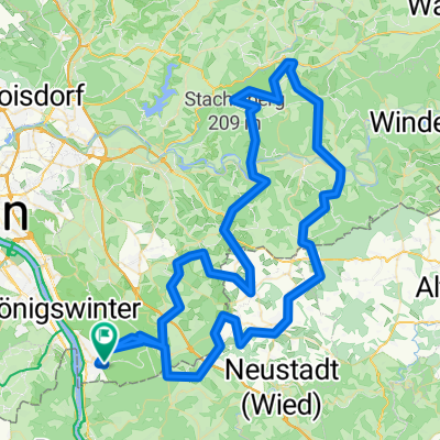
Remagen - Neuwied, 2 Tagestour Rückweg
A cycling route starting in Bad Honnef, North Rhine-Westphalia, Germany.
Overview
About this route
2 Day Tour
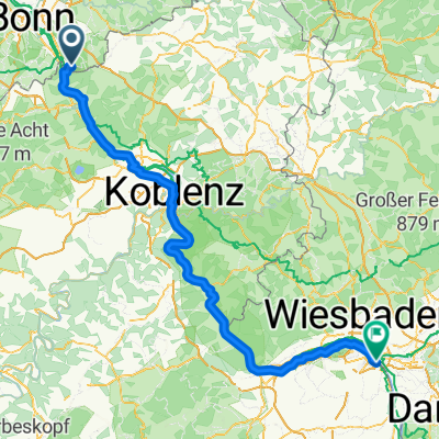
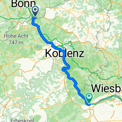
Day 2: In the morning, you'll return from Rolandseck near Remagen back to Weißenthurm or Neuwied, depending on where you started. The tour mostly follows the Rhine directly. Remagen and Andernach are worth mentioning as highlights since there's a bit of history to see here. Sinzig and Bad Breisig are left unseen unless you take a detour into the cities.
Unfortunately, the last part from Andernach goes through a dreadful industrial area. After that, it's not far to Weißenthurm.
- -:--
- Duration
- 37.1 km
- Distance
- 86 m
- Ascent
- 73 m
- Descent
- ---
- Avg. speed
- ---
- Max. altitude
Route photos
Route quality
Waytypes & surfaces along the route
Waytypes
Path
20.4 km
(55 %)
Quiet road
10 km
(27 %)
Surfaces
Paved
21.5 km
(58 %)
Asphalt
21.5 km
(58 %)
Undefined
15.6 km
(42 %)
Continue with Bikemap
Use, edit, or download this cycling route
You would like to ride Remagen - Neuwied, 2 Tagestour Rückweg or customize it for your own trip? Here is what you can do with this Bikemap route:
Free features
- Save this route as favorite or in collections
- Copy & plan your own version of this route
- Sync your route with Garmin or Wahoo
Premium features
Free trial for 3 days, or one-time payment. More about Bikemap Premium.
- Navigate this route on iOS & Android
- Export a GPX / KML file of this route
- Create your custom printout (try it for free)
- Download this route for offline navigation
Discover more Premium features.
Get Bikemap PremiumFrom our community
Other popular routes starting in Bad Honnef
Ittenbach - Asberg- Distance
- 17.7 km
- Ascent
- 341 m
- Descent
- 272 m
- Location
- Bad Honnef, North Rhine-Westphalia, Germany
Remagen - Neuwied, 2 Tagestour Rückweg- Distance
- 37.1 km
- Ascent
- 86 m
- Descent
- 73 m
- Location
- Bad Honnef, North Rhine-Westphalia, Germany
Königswinter - Bingen am Rhein- Distance
- 154.2 km
- Ascent
- 1,155 m
- Descent
- 1,161 m
- Location
- Bad Honnef, North Rhine-Westphalia, Germany
Route to Bad Honnef- Distance
- 95.1 km
- Ascent
- 1,742 m
- Descent
- 1,796 m
- Location
- Bad Honnef, North Rhine-Westphalia, Germany
Leybergtrails- Distance
- 19.6 km
- Ascent
- 670 m
- Descent
- 650 m
- Location
- Bad Honnef, North Rhine-Westphalia, Germany
Deine Mudda fährt hier lang- Distance
- 10.2 km
- Ascent
- 352 m
- Descent
- 348 m
- Location
- Bad Honnef, North Rhine-Westphalia, Germany
Sieben auf einen Streich- Distance
- 17.1 km
- Ascent
- 615 m
- Descent
- 613 m
- Location
- Bad Honnef, North Rhine-Westphalia, Germany
Von Bad Honnef bis Koblenz- Distance
- 58.1 km
- Ascent
- 240 m
- Descent
- 283 m
- Location
- Bad Honnef, North Rhine-Westphalia, Germany
Open it in the app


