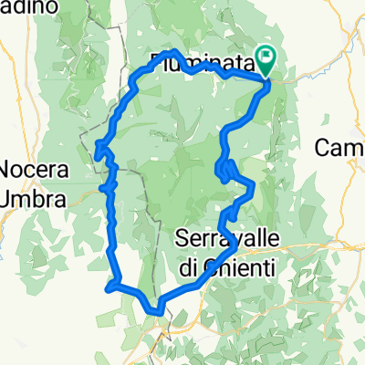
PIORACO-F.TE BRESCIA-LAVERINO-PIORACO
A cycling route starting in Pioraco, The Marches, Italy.
Overview
About this route
- -:--
- Duration
- 43.4 km
- Distance
- 345 m
- Ascent
- 340 m
- Descent
- ---
- Avg. speed
- ---
- Max. altitude
Route quality
Waytypes & surfaces along the route
Waytypes
Road
10 km
(23 %)
Quiet road
6.9 km
(16 %)
Surfaces
Paved
6.9 km
(16 %)
Unpaved
4.8 km
(11 %)
Asphalt
6.9 km
(16 %)
Unpaved (undefined)
2.6 km
(6 %)
Route highlights
Points of interest along the route
Point of interest after 10.4 km
BAR x sosta
Point of interest after 20.3 km
VENDITA PECORINO. A VOLTE C'è UN TIPO CHE STA Lì CON PICCOLO PUNTO VENDITA.
Point of interest after 20.3 km
FONTANELLE
Point of interest after 20.9 km
PIù O MENO CAPTAZIONE ACQUA. C'E' COMUNQUE UNA PICCOLA CASCATELLA AD UN CASOTO VERDE DOVE FAR BERE DIRETTAMENTE DALLA SORGENTE. :)
Point of interest after 23.9 km
VARIANTE IN SALITA SU STRADA BIANCA X PASSO CORNELLO (SE IL GRUPPO TIRA...SAREBBE BELLO FARLA)
Continue with Bikemap
Use, edit, or download this cycling route
You would like to ride PIORACO-F.TE BRESCIA-LAVERINO-PIORACO or customize it for your own trip? Here is what you can do with this Bikemap route:
Free features
- Save this route as favorite or in collections
- Copy & plan your own version of this route
- Sync your route with Garmin or Wahoo
Premium features
Free trial for 3 days, or one-time payment. More about Bikemap Premium.
- Navigate this route on iOS & Android
- Export a GPX / KML file of this route
- Create your custom printout (try it for free)
- Download this route for offline navigation
Discover more Premium features.
Get Bikemap PremiumFrom our community
Other popular routes starting in Pioraco
- PIORACO (MC) • F.te Lo Piscio, M. Vermenone, Colle Corno e Castello.
- Distance
- 31.5 km
- Ascent
- 951 m
- Descent
- 954 m
- Location
- Pioraco, The Marches, Italy
- fonte dello piscio
- Distance
- 21.6 km
- Ascent
- 2,059 m
- Descent
- 2,055 m
- Location
- Pioraco, The Marches, Italy
- Rocca di Laverino
- Distance
- 34.5 km
- Ascent
- 705 m
- Descent
- 721 m
- Location
- Pioraco, The Marches, Italy
- sentiero 244
- Distance
- 3 km
- Ascent
- 329 m
- Descent
- 325 m
- Location
- Pioraco, The Marches, Italy
- Pioraco Pontile Fiuminata Single Track
- Distance
- 17.2 km
- Ascent
- 530 m
- Descent
- 530 m
- Location
- Pioraco, The Marches, Italy
- Pioraco-Piani di Colfiorito-Serravalle di Chienti-Piani di Montelago
- Distance
- 66.4 km
- Ascent
- 1,011 m
- Descent
- 1,016 m
- Location
- Pioraco, The Marches, Italy
- Polverina-Fiastra-Caccamo
- Distance
- 99.2 km
- Ascent
- 1,346 m
- Descent
- 1,346 m
- Location
- Pioraco, The Marches, Italy
- PIORACO (MC) • Monte Gemmo ring
- Distance
- 27.3 km
- Ascent
- 949 m
- Descent
- 949 m
- Location
- Pioraco, The Marches, Italy
Open it in the app