

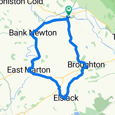
Gargrave The Final Rourt
A cycling route starting in Gargrave, England, United Kingdom.
Overview
About this route
2
- -:--
- Duration
- 51.6 km
- Distance
- 540 m
- Ascent
- 540 m
- Descent
- ---
- Avg. speed
- ---
- Max. altitude
Ir Hm
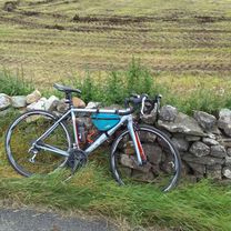
created this 7 years ago
Route quality
Waytypes & surfaces along the route
Waytypes
Quiet road
18.6 km
36 %
Road
13.4 km
26 %
Surfaces
Paved
25.8 km
(50 %)
Unpaved
4.6 km
(9 %)
Asphalt
21.7 km
42 %
Gravel
4.6 km
9 %
Continue with Bikemap
Use, edit, or download this cycling route
You would like to ride Gargrave The Final Rourt or customize it for your own trip? Here is what you can do with this Bikemap route:
Free features
- Save this route as favorite or in collections
- Copy & plan your own version of this route
- Sync your route with Garmin or Wahoo
Premium features
Free trial for 3 days, or one-time payment. More about Bikemap Premium.
- Navigate this route on iOS & Android
- Export a GPX / KML file of this route
- Create your custom printout (try it for free)
- Download this route for offline navigation
Discover more Premium features.
Get Bikemap PremiumFrom our community
Other popular routes starting in Gargrave
- High Street 54, Gargrave to Springfield 37, Bentham0
- 35.9 km
- 424 m
- 426 m
- Gargrave, England, United Kingdom


Open it in the app