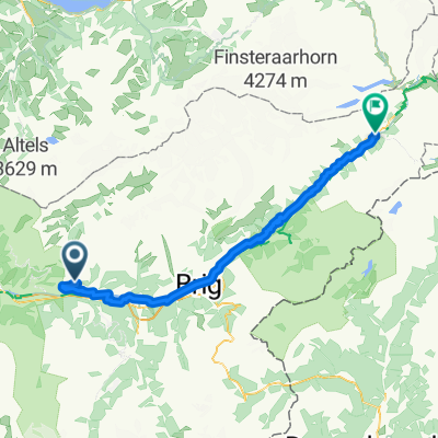
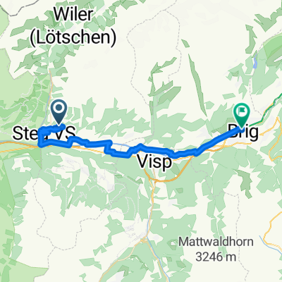
20181014105091_Teststrecke_Schneeschuhwandern
A cycling route starting in Gampel, Valais, Switzerland.
Overview
About this route
Falls mal Schnee liegen sollte ist das eine lawinensichere TestROUTE
- -:--
- Duration
- 6.3 km
- Distance
- 573 m
- Ascent
- 5 m
- Descent
- ---
- Avg. speed
- ---
- Avg. speed
Route quality
Waytypes & surfaces along the route
Waytypes
Quiet road
6.2 km
(98 %)
Access road
0.1 km
(2 %)
Undefined
0 km
(<1 %)
Surfaces
Paved
0.9 km
(14 %)
Asphalt
0.9 km
(14 %)
Undefined
5.4 km
(86 %)
Continue with Bikemap
Use, edit, or download this cycling route
You would like to ride 20181014105091_Teststrecke_Schneeschuhwandern or customize it for your own trip? Here is what you can do with this Bikemap route:
Free features
- Save this route as favorite or in collections
- Copy & plan your own version of this route
- Sync your route with Garmin or Wahoo
Premium features
Free trial for 3 days, or one-time payment. More about Bikemap Premium.
- Navigate this route on iOS & Android
- Export a GPX / KML file of this route
- Create your custom printout (try it for free)
- Download this route for offline navigation
Discover more Premium features.
Get Bikemap PremiumFrom our community
Other popular routes starting in Gampel
- Viena - Santiago de Compostela. part 4: Oeschinensee-Jaca
- Distance
- 1,115.8 km
- Ascent
- 4,684 m
- Descent
- 4,516 m
- Location
- Gampel, Valais, Switzerland
- Jeitzinen - Siders E2 P2 22
- Distance
- 22.5 km
- Ascent
- 100 m
- Descent
- 1,079 m
- Location
- Gampel, Valais, Switzerland
- Goppenstein - Brig
- Distance
- 25.6 km
- Ascent
- 175 m
- Descent
- 722 m
- Location
- Gampel, Valais, Switzerland
- Goppenstein-Stafel-Bachalp-Sierre
- Distance
- 46.4 km
- Ascent
- 1,307 m
- Descent
- 1,990 m
- Location
- Gampel, Valais, Switzerland
- 17 Jeizinen - Torrent
- Distance
- 17.3 km
- Ascent
- 1,029 m
- Descent
- 242 m
- Location
- Gampel, Valais, Switzerland
- Ferden nach Veysonnaz
- Distance
- 63.3 km
- Ascent
- 2,325 m
- Descent
- 2,212 m
- Location
- Gampel, Valais, Switzerland
- Goppenstein bahnhof to Gletscherstafel
- Distance
- 13 km
- Ascent
- 581 m
- Descent
- 33 m
- Location
- Gampel, Valais, Switzerland
- 20181014105091_Teststrecke_Schneeschuhwandern
- Distance
- 6.3 km
- Ascent
- 573 m
- Descent
- 5 m
- Location
- Gampel, Valais, Switzerland
Open it in the app