

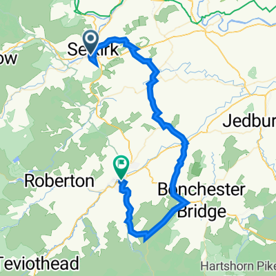
Waterwheel cafe (Selkirk) - Ettrickbridge - Ettrick - Yarrow
A cycling route starting in Selkirk, Scotland, United Kingdom.
Overview
About this route
From the Waterwheel Café, reach the B7009 via Bowhill. Cycle up the Ettrick, through Ettrickbridge, then continue to Crosslee. Turn right for the climb out of the valley to reach the Gordon Arms and the Yarrow. The Yarrow valley gives a fast run back to the Waterwheel.
- -:--
- Duration
- 50.2 km
- Distance
- 333 m
- Ascent
- 334 m
- Descent
- ---
- Avg. speed
- ---
- Max. altitude

Route photos
 - Ettrickbridge - Ettrick - Yarrow\"")
Route quality
Waytypes & surfaces along the route
Waytypes
Access road
0.5 km
(1 %)
Undefined
49.7 km
(99 %)
Surfaces
Paved
43.2 km
(86 %)
Asphalt
43.2 km
(86 %)
Undefined
7 km
(14 %)
Continue with Bikemap
Use, edit, or download this cycling route
You would like to ride Waterwheel cafe (Selkirk) - Ettrickbridge - Ettrick - Yarrow or customize it for your own trip? Here is what you can do with this Bikemap route:
Free features
- Save this route as favorite or in collections
- Copy & plan your own version of this route
- Sync your route with Garmin or Wahoo
Premium features
Free trial for 3 days, or one-time payment. More about Bikemap Premium.
- Navigate this route on iOS & Android
- Export a GPX / KML file of this route
- Create your custom printout (try it for free)
- Download this route for offline navigation
Discover more Premium features.
Get Bikemap PremiumFrom our community
Other popular routes starting in Selkirk
 Waterwheel cafe (Selkirk) - Ettrickbridge - Ettrick - Yarrow
- Distance
- 50.2 km
- Ascent
- 333 m
- Descent
- 334 m
- Location
- Selkirk, Scotland, United Kingdom
 Greenhill Farm to Greenhill Farm
- Distance
- 3 km
- Ascent
- 207 m
- Descent
- 206 m
- Location
- Selkirk, Scotland, United Kingdom
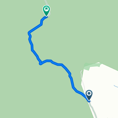 Witchie Knowe
- Distance
- 2.1 km
- Ascent
- 151 m
- Descent
- 0 m
- Location
- Selkirk, Scotland, United Kingdom
 Selkirk-Ettrickbridge-Yarrow-Selkirk
- Distance
- 55.1 km
- Ascent
- 356 m
- Descent
- 358 m
- Location
- Selkirk, Scotland, United Kingdom
 The Haining Dairy Cottage, Selkirk to 69–99 Morrison Pl, Hawick
- Distance
- 44.6 km
- Ascent
- 542 m
- Descent
- 620 m
- Location
- Selkirk, Scotland, United Kingdom
 JOG2B Day5
- Distance
- 149.4 km
- Ascent
- 1,167 m
- Descent
- 1,346 m
- Location
- Selkirk, Scotland, United Kingdom
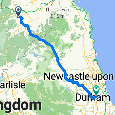
 St Wilfrid's Way-Route from Hexham to Edinburgh
- Distance
- 75.9 km
- Ascent
- 826 m
- Descent
- 905 m
- Location
- Selkirk, Scotland, United Kingdom
 06walton
- Distance
- 96.3 km
- Ascent
- 759 m
- Descent
- 849 m
- Location
- Selkirk, Scotland, United Kingdom
Open it in the app