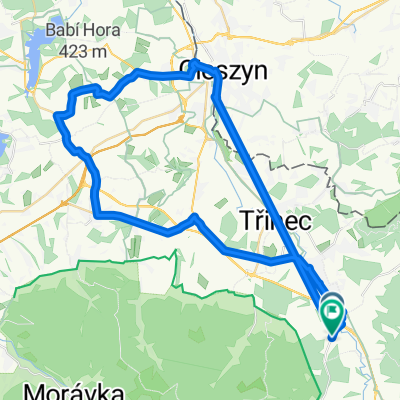
Koziniec zimą
- 18.8 km
- 339 m
- 338 m
- Třinec, Moravskoslezský kraj, Czechia
A cycling route starting in Třinec, Moravskoslezský kraj, Czechia.
Overview
Beskid Silesian-Moravian
Ostry - Jaworowy
created this 7 years ago
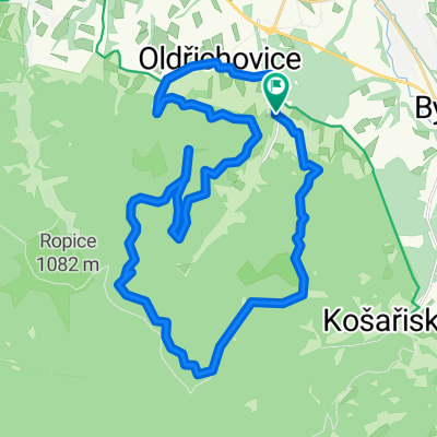
Route quality
Track
23.9 km
(58 %)
Quiet road
7.4 km
(18 %)
Paved
22.7 km
(55 %)
Unpaved
13.6 km
(33 %)
Asphalt
15.3 km
(37 %)
Gravel
11.1 km
(27 %)
Continue with Bikemap
You would like to ride Beskid Slasko-Morawski Ostry-Jaworowy or customize it for your own trip? Here is what you can do with this Bikemap route:
Free trial for 3 days, or one-time payment. More about Bikemap Premium.
Discover more Premium features.
Get Bikemap PremiumFrom our community
Open it in the app