

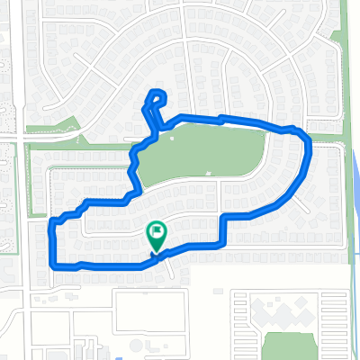
Day 5 Tour California
A cycling route starting in Manteca, California, United States of America.
Overview
About this route
After a 2.5 hour transfer from Yosemite, the ride takes in the golden rural hills of California and ends with a hard climb up Mt. Diablo and a 360-degree view of the bay area. we finish the day with a barbeque, beer, and swim at my friend's house.
- -:--
- Duration
- 122.3 km
- Distance
- 1,515 m
- Ascent
- 1,425 m
- Descent
- ---
- Avg. speed
- ---
- Avg. speed

Route quality
Waytypes & surfaces along the route
Waytypes
Road
50.1 km
(41 %)
Busy road
39.8 km
(33 %)
Surfaces
Paved
46.8 km
(38 %)
Unpaved
5.4 km
(4 %)
Asphalt
38.1 km
(31 %)
Paved (undefined)
8.5 km
(7 %)
Continue with Bikemap
Use, edit, or download this cycling route
You would like to ride Day 5 Tour California or customize it for your own trip? Here is what you can do with this Bikemap route:
Free features
- Save this route as favorite or in collections
- Copy & plan your own version of this route
- Sync your route with Garmin or Wahoo
Premium features
Free trial for 3 days, or one-time payment. More about Bikemap Premium.
- Navigate this route on iOS & Android
- Export a GPX / KML file of this route
- Create your custom printout (try it for free)
- Download this route for offline navigation
Discover more Premium features.
Get Bikemap PremiumFrom our community
Other popular routes starting in Manteca
 Day 5 Tour California
- Distance
- 122.3 km
- Ascent
- 1,515 m
- Descent
- 1,425 m
- Location
- Manteca, California, United States of America
 Harvest Mill Drive 1017, Manteca to Harvest Mill Drive 1017, Manteca
- Distance
- 16.9 km
- Ascent
- 17 m
- Descent
- 13 m
- Location
- Manteca, California, United States of America
 5 corners
- Distance
- 36.4 km
- Ascent
- 35 m
- Descent
- 37 m
- Location
- Manteca, California, United States of America
 1030 Harvest Mill Dr, Manteca to 1017 Harvest Mill Dr, Manteca
- Distance
- 3.3 km
- Ascent
- 68 m
- Descent
- 82 m
- Location
- Manteca, California, United States of America
 JackAustin
- Distance
- 26.4 km
- Ascent
- 53 m
- Descent
- 55 m
- Location
- Manteca, California, United States of America
 9m loop
- Distance
- 14.7 km
- Ascent
- 43 m
- Descent
- 46 m
- Location
- Manteca, California, United States of America
 1017 Harvest Mill Dr, Manteca to 1017 Harvest Mill Dr, Manteca
- Distance
- 2.1 km
- Ascent
- 12 m
- Descent
- 14 m
- Location
- Manteca, California, United States of America
 Harvest Mill Drive 1017, Manteca to Harvest Mill Drive 1017, Manteca
- Distance
- 12.9 km
- Ascent
- 26 m
- Descent
- 20 m
- Location
- Manteca, California, United States of America
Open it in the app