

Merzse-mocsár és Ferihegy kerékpáron
A cycling route starting in Ecser, Pest County, Hungary.
Overview
About this route
Rákoskert
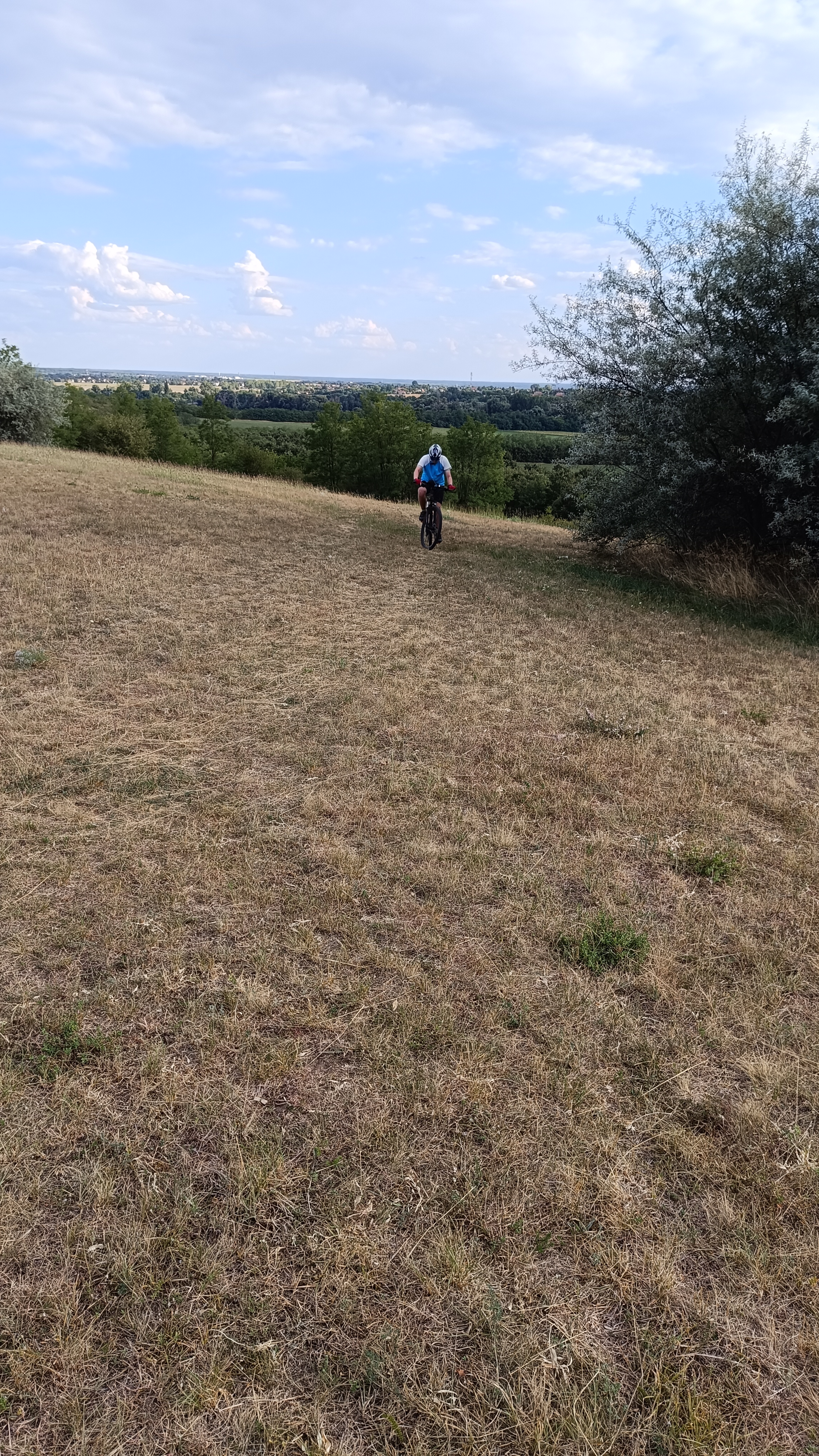
Merzse-mocsár
Radar morning (spotter)
Patakpart kisdomb (spotter)
Patakpart morning (spotter)
Patakpart afternoon (spotter)
Spotter-domb (spotter)
Catering (spotter)
2-es terminál
Aeropark
Final (spotter)
Final second (spotter)
Market Central
Szemeretelep
Cargo-domb (spotter)
Horgásztó (spotter)
Malév Tu-154 (spotter)
Merzse tanösvény
Rákoskert
- -:--
- Duration
- 37.7 km
- Distance
- 85 m
- Ascent
- 84 m
- Descent
- ---
- Avg. speed
- ---
- Max. altitude

Continue with Bikemap
Use, edit, or download this cycling route
You would like to ride Merzse-mocsár és Ferihegy kerékpáron or customize it for your own trip? Here is what you can do with this Bikemap route:
Free features
- Save this route as favorite or in collections
- Copy & plan your own version of this route
- Sync your route with Garmin or Wahoo
Premium features
Free trial for 3 days, or one-time payment. More about Bikemap Premium.
- Navigate this route on iOS & Android
- Export a GPX / KML file of this route
- Create your custom printout (try it for free)
- Download this route for offline navigation
Discover more Premium features.
Get Bikemap PremiumFrom our community
Other popular routes starting in Ecser
 On TOP of Hungary
- Distance
- 92.3 km
- Ascent
- 1,122 m
- Descent
- 286 m
- Location
- Ecser, Pest County, Hungary
 Ecser-Pécel-Dány-Elágazás-Nagytarcsa-felé
- Distance
- 69.8 km
- Ascent
- 319 m
- Descent
- 291 m
- Location
- Ecser, Pest County, Hungary
 Tavaszi szél 2011
- Distance
- 124.8 km
- Ascent
- 366 m
- Descent
- 367 m
- Location
- Ecser, Pest County, Hungary
 Luther Márton utca - Luther Márton utca
- Distance
- 15.2 km
- Ascent
- 298 m
- Descent
- 352 m
- Location
- Ecser, Pest County, Hungary
 Ecser-Gödöllő-Üllő-Ecser
- Distance
- 106.8 km
- Ascent
- 734 m
- Descent
- 738 m
- Location
- Ecser, Pest County, Hungary
 Unnamed Road, Budapest to Róder Imre utca 25, Vecsés
- Distance
- 9.8 km
- Ascent
- 60 m
- Descent
- 51 m
- Location
- Ecser, Pest County, Hungary
 Ecser-Ócsa-Gödöllő-Hungaroring-Kistarcsa-Ecser
- Distance
- 106.3 km
- Ascent
- 569 m
- Descent
- 572 m
- Location
- Ecser, Pest County, Hungary
 Sülysáp - Zsámbok
- Distance
- 70.9 km
- Ascent
- 187 m
- Descent
- 211 m
- Location
- Ecser, Pest County, Hungary
Open it in the app