

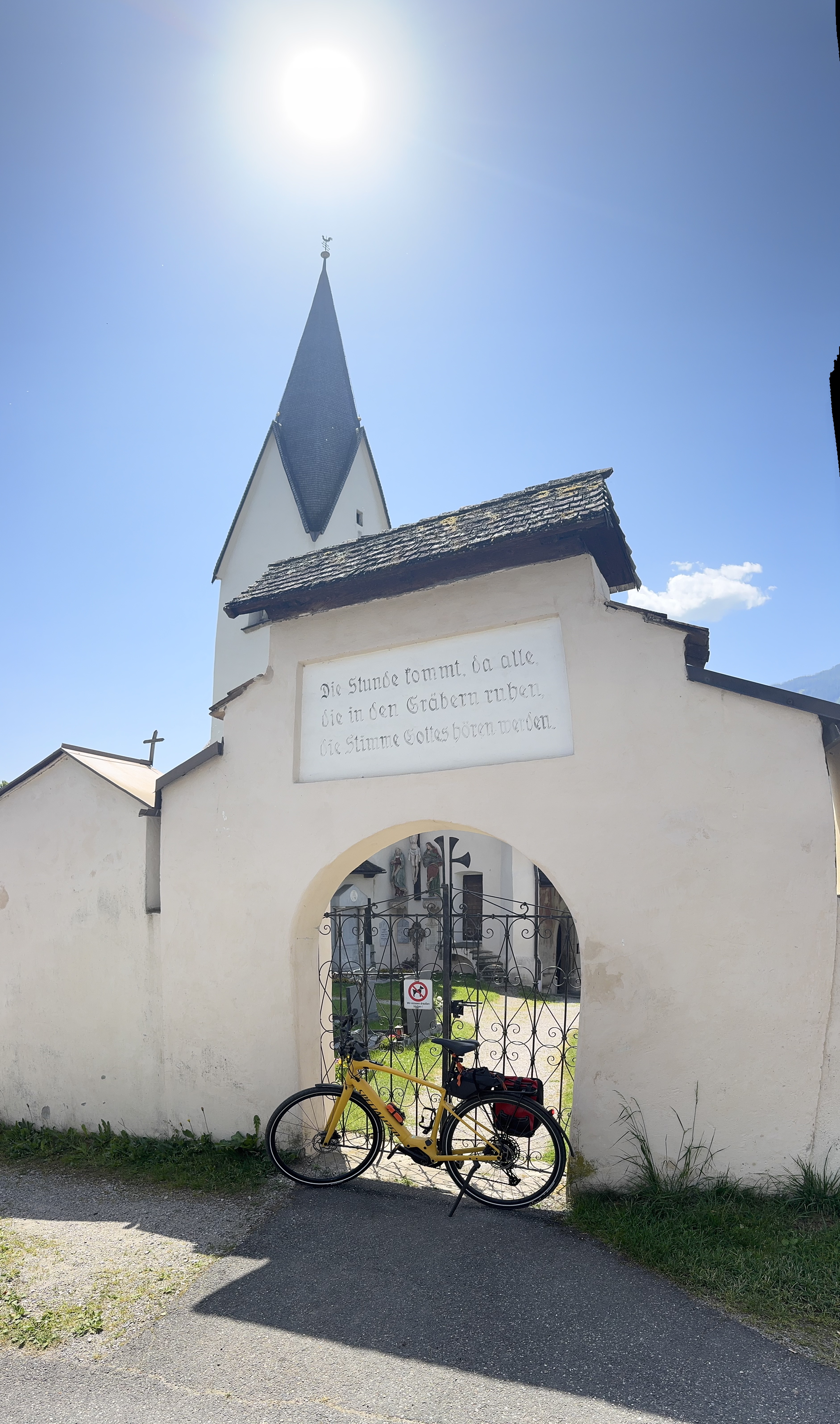
Pusarnitz - Gmeineck
A cycling route starting in Lendorf, Carinthia, Austria.
Overview
About this route
- -:--
- Duration
- 13.6 km
- Distance
- 1,231 m
- Ascent
- 12 m
- Descent
- ---
- Avg. speed
- ---
- Max. altitude
Route quality
Waytypes & surfaces along the route
Waytypes
Track
9.6 km
(71 %)
Road
3 km
(22 %)
Quiet road
1 km
(7 %)
Surfaces
Paved
2.6 km
(19 %)
Unpaved
1.6 km
(12 %)
Asphalt
2.6 km
(19 %)
Unpaved (undefined)
1.1 km
(8 %)
Continue with Bikemap
Use, edit, or download this cycling route
You would like to ride Pusarnitz - Gmeineck or customize it for your own trip? Here is what you can do with this Bikemap route:
Free features
- Save this route as favorite or in collections
- Copy & plan your own version of this route
- Sync your route with Garmin or Wahoo
Premium features
Free trial for 3 days, or one-time payment. More about Bikemap Premium.
- Navigate this route on iOS & Android
- Export a GPX / KML file of this route
- Create your custom printout (try it for free)
- Download this route for offline navigation
Discover more Premium features.
Get Bikemap PremiumFrom our community
Other popular routes starting in Lendorf
 Ruine Ortenburg
- Distance
- 25.7 km
- Ascent
- 508 m
- Descent
- 511 m
- Location
- Lendorf, Carinthia, Austria
 L9, Lendorf nach Tiroler Straße, Spittal an der Drau
- Distance
- 7.9 km
- Ascent
- 110 m
- Descent
- 112 m
- Location
- Lendorf, Carinthia, Austria
 Feicht 2a, Lendorf nach Malta Hochalmstraße, Malta
- Distance
- 30.9 km
- Ascent
- 807 m
- Descent
- 474 m
- Location
- Lendorf, Carinthia, Austria
 Pusarnitz - Gmeineck
- Distance
- 13.6 km
- Ascent
- 1,231 m
- Descent
- 12 m
- Location
- Lendorf, Carinthia, Austria
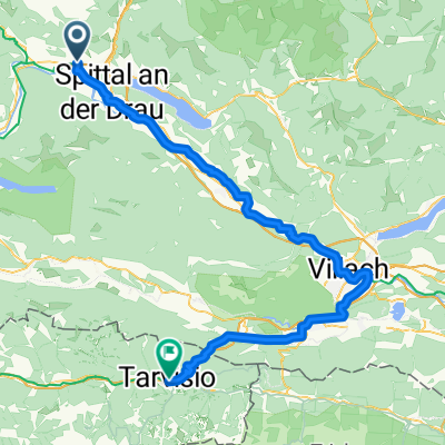 Lendorf - Tarvisio
- Distance
- 82 km
- Ascent
- 959 m
- Descent
- 794 m
- Location
- Lendorf, Carinthia, Austria
 Lendorf - Kolmerwirt
- Distance
- 15 km
- Ascent
- 884 m
- Descent
- 890 m
- Location
- Lendorf, Carinthia, Austria
 Feicht 74/1 nach Hühnersberg
- Distance
- 10.4 km
- Ascent
- 959 m
- Descent
- 56 m
- Location
- Lendorf, Carinthia, Austria
 DRAVA 2
- Distance
- 106.6 km
- Ascent
- 153 m
- Descent
- 285 m
- Location
- Lendorf, Carinthia, Austria
Open it in the app