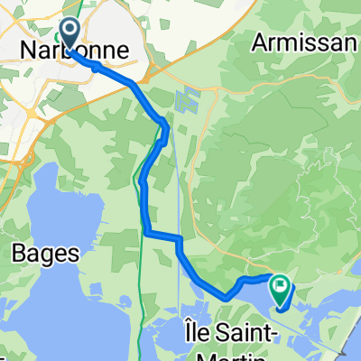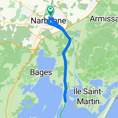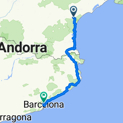
Narbonne Barcelona
- 360.4 km
- 3,093 m
- 3,044 m
- Narbonne, Occitanie, France
A cycling route starting in Narbonne, Occitanie, France.
Overview
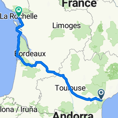
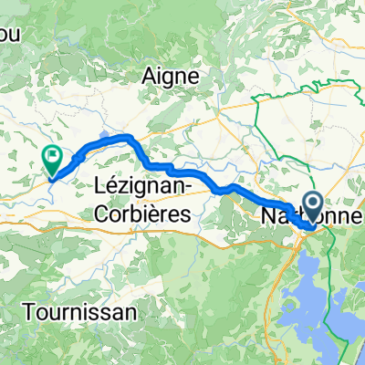
Western Europe Tour. Stage 91
Narbonne - Port la Nouvelle - Leucate - Le Barcarès - Sainte Marie - Canet en Roussillon - Saint Cyprien - Argelès sur Mer - Saint André - Saint Génis des Fontaines - Maureillas las Illas - SPAIN - La Junquera - Capmany - Vilarnadal - Peralada - Vilanova de la Muga - Castelló d'Empúries
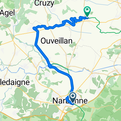
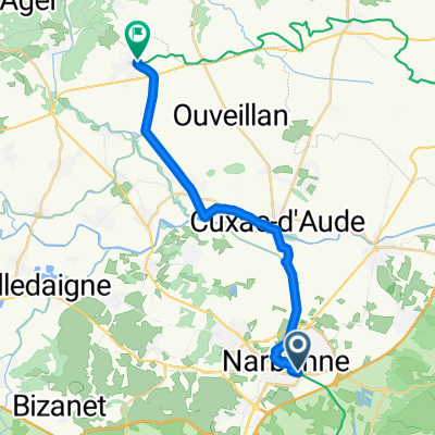
162.0 km
680 m accumulated positive elevation
created this 7 years ago
Route quality
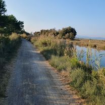
Track
48.6 km
(30 %)
Quiet road
42.1 km
(26 %)
Paved
85.9 km
(53 %)
Unpaved
48.6 km
(30 %)
Asphalt
79.4 km
(49 %)
Gravel
32.4 km
(20 %)
Route highlights
Le Mémorial des 3 Colonnes
Castillo Peralada
Portal del Comte
Portal de la Gallarda
Basílica de Santa Maria de Castelló d'Empúries
Lavaderos de Castellón de Ampurias
Continue with Bikemap
You would like to ride Etapa 091B (Narbona - Castelló d'Empúries) or customize it for your own trip? Here is what you can do with this Bikemap route:
Free trial for 3 days, or one-time payment. More about Bikemap Premium.
Discover more Premium features.
Get Bikemap PremiumFrom our community
Open it in the app