

PERCHE - LES MONTS DU PERCHE 2022
A cycling route starting in Brou, Centre-Val de Loire, France.
Overview
About this route
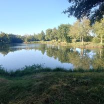
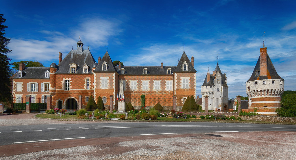
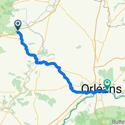
120 km---Brou - Frazé - Chassant - Thiron Gardais - Les Eaux Blanches - La Gaudaine - Le Goulet - Vichères - at D922 - at D371.5 - Trizay Coutretot - Nogent-le-Rotrou - D103 - Ozée - D110 - (crossing of D918) - La Rapouillère - towards Condé sur Huisne - D203 - La Poterie - La Roulandière - Morolle les Buis - Frétigny - St Denis d'Authou - D103 - Les Croix Chemin - D351.1 - La Gaudinière - D154 - D103 - D351.1 - La Bourdonnière - D15 - D154 - Combres - D369 - La Faucaude - Frazé - D144 - D128 - Montigny le Chartif - Brou
- -:--
- Duration
- 121.5 km
- Distance
- 1,213 m
- Ascent
- 1,213 m
- Descent
- ---
- Avg. speed
- 285 m
- Max. altitude

Route quality
Waytypes & surfaces along the route
Waytypes
Road
70.5 km
(58 %)
Quiet road
9.7 km
(8 %)
Undefined
41.3 km
(34 %)
Surfaces
Paved
23.1 km
(19 %)
Asphalt
23.1 km
(19 %)
Undefined
98.4 km
(81 %)
Continue with Bikemap
Use, edit, or download this cycling route
You would like to ride PERCHE - LES MONTS DU PERCHE 2022 or customize it for your own trip? Here is what you can do with this Bikemap route:
Free features
- Save this route as favorite or in collections
- Copy & plan your own version of this route
- Split it into stages to create a multi-day tour
- Sync your route with Garmin or Wahoo
Premium features
Free trial for 3 days, or one-time payment. More about Bikemap Premium.
- Navigate this route on iOS & Android
- Export a GPX / KML file of this route
- Create your custom printout (try it for free)
- Download this route for offline navigation
Discover more Premium features.
Get Bikemap PremiumFrom our community
Other popular routes starting in Brou
 De D126, Méréglise à 16 Avenue Georges Clemenceau, Illiers-Combray
- Distance
- 6.5 km
- Ascent
- 32 m
- Descent
- 33 m
- Location
- Brou, Centre-Val de Loire, France
 Saint Eman
- Distance
- 17.5 km
- Ascent
- 68 m
- Descent
- 66 m
- Location
- Brou, Centre-Val de Loire, France
 france 2009-10 brou-tours
- Distance
- 115.3 km
- Ascent
- 280 m
- Descent
- 382 m
- Location
- Brou, Centre-Val de Loire, France
 WCC Tour Day 3: Brou-Paris
- Distance
- 155 km
- Ascent
- 437 m
- Descent
- 552 m
- Location
- Brou, Centre-Val de Loire, France
 PERCHE - LES MONTS DU PERCHE 2022
- Distance
- 121.5 km
- Ascent
- 1,213 m
- Descent
- 1,213 m
- Location
- Brou, Centre-Val de Loire, France
 De L'Océane, Vieuvicq à 28 Rue de la Herse, Nogent-le-Rotrou
- Distance
- 42.5 km
- Ascent
- 356 m
- Descent
- 407 m
- Location
- Brou, Centre-Val de Loire, France
 Perche 27/ 04 /25 départ de Frazé
- Distance
- 98.4 km
- Ascent
- 1,003 m
- Descent
- 1,002 m
- Location
- Brou, Centre-Val de Loire, France
 Brou - Saint-Jean-de-Braye
- Distance
- 100.9 km
- Ascent
- 201 m
- Descent
- 285 m
- Location
- Brou, Centre-Val de Loire, France
Open it in the app