Place du Marché nach Estavayer-le-Lac
- 35.8 km
- 140 m
- 166 m
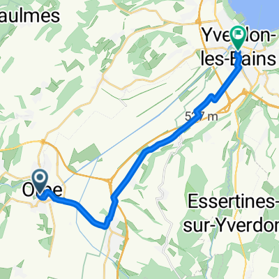
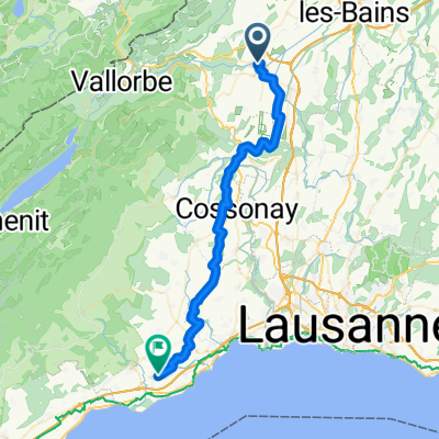
- Orbe, Canton of Vaud, Switzerland
A cycling route starting in Orbe, Canton of Vaud, Switzerland.
Overview
Mainly paved just over the Col d'Aiguillon it is a bit bumpy
created this 15 years ago
Route quality
Road
39.5 km
(51 %)
Quiet road
17 km
(22 %)
Paved
26.3 km
(34 %)
Unpaved
0.8 km
(1 %)
Asphalt
25.5 km
(33 %)
Paved (undefined)
0.8 km
(1 %)
Route highlights
Col de l'Aiguillon
La Cote-Aux-Fées
Col des Etroits
Continue with Bikemap
You would like to ride Col du Aiguillon loop or customize it for your own trip? Here is what you can do with this Bikemap route:
Free trial for 3 days, or one-time payment. More about Bikemap Premium.
Discover more Premium features.
Get Bikemap PremiumFrom our community
Open it in the app