

Brittany
Brittany Tour - day 1 - St Malo to Fougeres
A cycling route starting in St-Malo, Brittany Region, France.
Overview
About this route
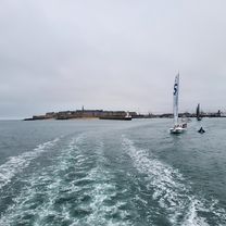
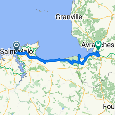
The first stage of a tour of eastern Brittany, inspired in part by a shorter tour published on the Brittany Ferries website. The tour starts from the ferry terminal in St. Malo, having taken the overnight ferry from Portsmout. To cut down the distance to Fougeres, the route goes direct to Mont St Michel bay via main roads instead of using the cycle route. Mont St Michel itself is also missed out, because we had visited it before, but it is not far off the route. The route is pretty flat to the lunch stop at Pontorson, and more hilly thereafter.
- -:--
- Duration
- 82 km
- Distance
- 291 m
- Ascent
- 189 m
- Descent
- ---
- Avg. speed
- ---
- Max. altitude

Part of
8 stages
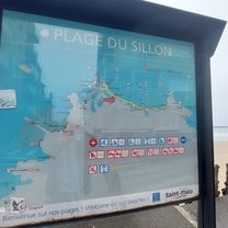
Route photos


Route quality
Waytypes & surfaces along the route
Waytypes
Road
20.5 km
(25 %)
Quiet road
15.6 km
(19 %)
Surfaces
Paved
33.6 km
(41 %)
Unpaved
3.3 km
(4 %)
Asphalt
32.8 km
(40 %)
Gravel
1.6 km
(2 %)
Continue with Bikemap
Use, edit, or download this cycling route
You would like to ride Brittany Tour - day 1 - St Malo to Fougeres or customize it for your own trip? Here is what you can do with this Bikemap route:
Free features
- Save this route as favorite or in collections
- Copy & plan your own version of this route
- Split it into stages to create a multi-day tour
- Sync your route with Garmin or Wahoo
Premium features
Free trial for 3 days, or one-time payment. More about Bikemap Premium.
- Navigate this route on iOS & Android
- Export a GPX / KML file of this route
- Create your custom printout (try it for free)
- Download this route for offline navigation
Discover more Premium features.
Get Bikemap PremiumFrom our community
Other popular routes starting in St-Malo
 Staint Malo bis Martignon
- Distance
- 40.9 km
- Ascent
- 374 m
- Descent
- 364 m
- Location
- St-Malo, Brittany Region, France
 Chaussée du Sillon nach Rue de l'Industrie
- Distance
- 3 km
- Ascent
- 72 m
- Descent
- 120 m
- Location
- St-Malo, Brittany Region, France
 Brittany Tour - day 1 - St Malo to Fougeres
- Distance
- 82 km
- Ascent
- 291 m
- Descent
- 189 m
- Location
- St-Malo, Brittany Region, France
 St-Malo - Avranches
- Distance
- 79.8 km
- Ascent
- 203 m
- Descent
- 200 m
- Location
- St-Malo, Brittany Region, France
 SaintMalo Rennes 2022
- Distance
- 114 km
- Ascent
- 667 m
- Descent
- 677 m
- Location
- St-Malo, Brittany Region, France
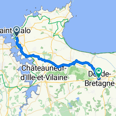 From Saint-Malo to Dol-de-Bretagne
- Distance
- 29.3 km
- Ascent
- 169 m
- Descent
- 173 m
- Location
- St-Malo, Brittany Region, France
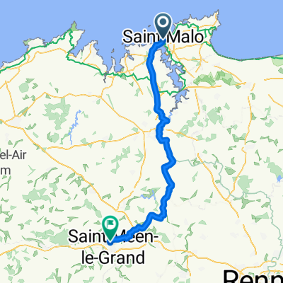 St-Malo - Saint-Méen-le-Grand
- Distance
- 73.9 km
- Ascent
- 615 m
- Descent
- 536 m
- Location
- St-Malo, Brittany Region, France
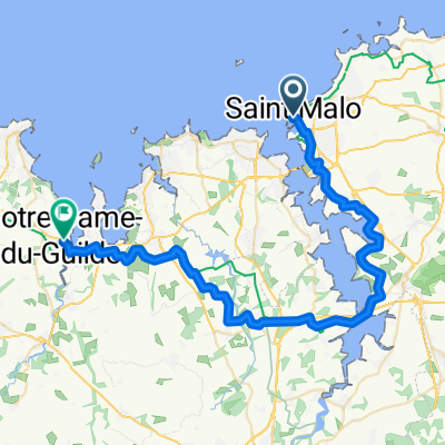 From Saint-Malo to Notre Dame du Guildo (Sept)
- Distance
- 46.2 km
- Ascent
- 456 m
- Descent
- 429 m
- Location
- St-Malo, Brittany Region, France
Open it in the app