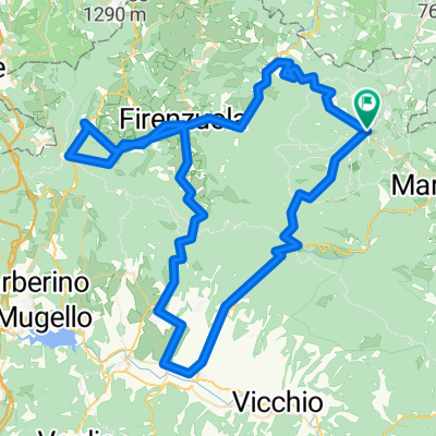
Da Via Fosso della Piana a Piazza del Molino
- 8.7 km
- 449 m
- 476 m
- Palazzuolo sul Senio, Tuscany, Italy
A cycling route starting in Palazzuolo sul Senio, Tuscany, Italy.
Overview
A stage between the Senio to the Sintria valley, short and steep stretches on narrow roads, technical descent and rough roads oftenly ridden during the Giro d´Italia. We will pass through Brisighella, a village of fortresses and castles, considered one of the most beautiful places in Italy. Third climb of the day wil be the infamous la Valletta Very narrow road that climbs up the side of the mountain amidst cultivation of oil and vines, only 2.7 kilometers, but certainly very intense. The average gradient of almost 10% with peaks of 18-20% make this ascent one of the most demanding in the area, also due to the long stretches without intermediate falsopiani. Be careful, the narrow road and major slopes 15-18% make these three kilometers challenging even downhill. Once in Zattaglia after a few meters on a slight slope immediately begins the ascent of Monte Albano. (4.7km with average gradient 6% - quite uphill constant with long stretches at 7% and two peaks slightly above 8%.) Now there are 5 km of fast descent to reach the bridge over the Senio river in Casola Valsenio. From there, after a few hundred meters we turn left onto the Lavanda road 5.6 Km ascent fairly constant, with slopes that are always affordable and practically never above 8%. Sufficiently wide roadway with wide curves, wide views and a good view of the vein of the plaster. Once at the Prugno a narrow up-and-down road will take us back to the main road that will lead us back to Palazzuolo.
created this 7 years ago
Route quality
Quiet road
28.6 km
(31 %)
Road
26.8 km
(29 %)
Paved
74.8 km
(81 %)
Unpaved
3.7 km
(4 %)
Asphalt
73.9 km
(80 %)
Gravel
2.8 km
(3 %)
Continue with Bikemap
You would like to ride Stage 1 or customize it for your own trip? Here is what you can do with this Bikemap route:
Free trial for 3 days, or one-time payment. More about Bikemap Premium.
Discover more Premium features.
Get Bikemap PremiumFrom our community
Open it in the app