

Zürcher Oberland Pfannenstil über viele Schleichwege
A cycling route starting in Zürich (Kreis 11) / Affoltern, Canton of Zurich, Switzerland.
Overview
About this route
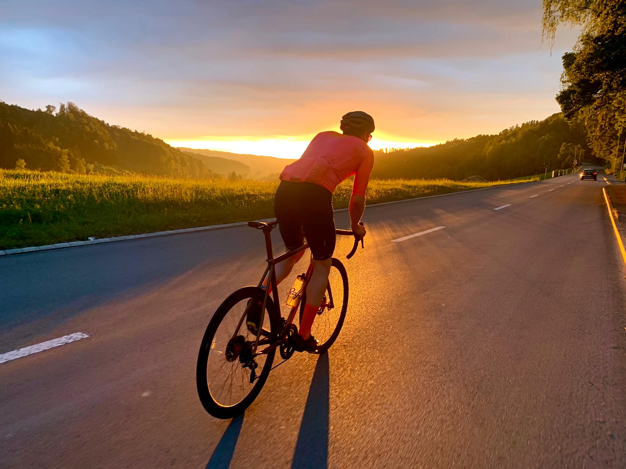
Von Zürich aus gesehen fährt man hier von hinten auf den Pfannenstil rauf. Vorher geht's am Greifensee entlang bis ins tiefe Oberland rein. Ich habe lange nach geeigneten Schleichwegen gesucht, die abseits vom Verkehr durch diese wunderschöne Landschaft führen. Es hat ganz wenige unasphaltiere Abschnitte. Landschaftlich und aussichtsmässig absolut grandiose Strecke.
- -:--
- Duration
- 76.9 km
- Distance
- 571 m
- Ascent
- 572 m
- Descent
- ---
- Avg. speed
- ---
- Avg. speed
Route quality
Waytypes & surfaces along the route
Waytypes
Quiet road
26.2 km
(34 %)
Road
19.7 km
(26 %)
Surfaces
Paved
70.4 km
(92 %)
Unpaved
3.9 km
(5 %)
Asphalt
70.3 km
(91 %)
Gravel
3.9 km
(5 %)
Continue with Bikemap
Use, edit, or download this cycling route
You would like to ride Zürcher Oberland Pfannenstil über viele Schleichwege or customize it for your own trip? Here is what you can do with this Bikemap route:
Free features
- Save this route as favorite or in collections
- Copy & plan your own version of this route
- Sync your route with Garmin or Wahoo
Premium features
Free trial for 3 days, or one-time payment. More about Bikemap Premium.
- Navigate this route on iOS & Android
- Export a GPX / KML file of this route
- Create your custom printout (try it for free)
- Download this route for offline navigation
Discover more Premium features.
Get Bikemap PremiumFrom our community
Other popular routes starting in Zürich (Kreis 11) / Affoltern
 Bergtraining!
- Distance
- 92.2 km
- Ascent
- 1,651 m
- Descent
- 1,674 m
- Location
- Zürich (Kreis 11) / Affoltern, Canton of Zurich, Switzerland
 Reicht fürs erste Mal
- Distance
- 83.4 km
- Ascent
- 486 m
- Descent
- 487 m
- Location
- Zürich (Kreis 11) / Affoltern, Canton of Zurich, Switzerland
 Stadt Zürich - Uetliberg Loop
- Distance
- 35.6 km
- Ascent
- 656 m
- Descent
- 674 m
- Location
- Zürich (Kreis 11) / Affoltern, Canton of Zurich, Switzerland
 Rheinfall
- Distance
- 83.9 km
- Ascent
- 744 m
- Descent
- 744 m
- Location
- Zürich (Kreis 11) / Affoltern, Canton of Zurich, Switzerland
 Zum Rhein
- Distance
- 80.8 km
- Ascent
- 623 m
- Descent
- 648 m
- Location
- Zürich (Kreis 11) / Affoltern, Canton of Zurich, Switzerland
 Rheinroute
- Distance
- 78.2 km
- Ascent
- 436 m
- Descent
- 435 m
- Location
- Zürich (Kreis 11) / Affoltern, Canton of Zurich, Switzerland
 Glaubtenstrasse - Islisberg - Wiedike
- Distance
- 42 km
- Ascent
- 719 m
- Descent
- 720 m
- Location
- Zürich (Kreis 11) / Affoltern, Canton of Zurich, Switzerland
 um den Züri-See
- Distance
- 113.3 km
- Ascent
- 558 m
- Descent
- 598 m
- Location
- Zürich (Kreis 11) / Affoltern, Canton of Zurich, Switzerland
Open it in the app