moto dolomiti 2
- 587.1 km
- 11,707 m
- 14,216 m
- Sant'Antonio, Lombardy, Italy
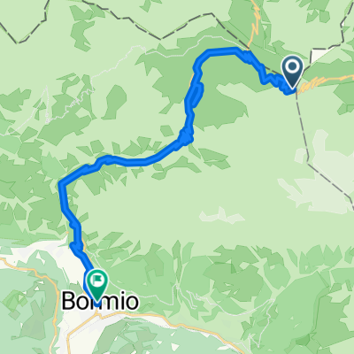
A cycling route starting in Sant'Antonio, Lombardy, Italy.
Overview
Punta Garibaldi
Piz Umbrail 'THE FORGOTTEN PEAK'
Via da Val Mora
Passo Gallo
Boscopiano
created this 7 years ago
Continue with Bikemap
You would like to ride ste 4 or customize it for your own trip? Here is what you can do with this Bikemap route:
Free trial for 3 days, or one-time payment. More about Bikemap Premium.
Discover more Premium features.
Get Bikemap PremiumFrom our community
Open it in the app