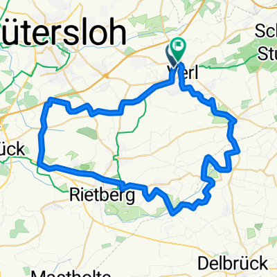


Am Furlbach nach Neubrückstraße
- 34.4 km
- 21 m
- 22 m
- Verl, North Rhine-Westphalia, Germany
A cycling route starting in Verl, North Rhine-Westphalia, Germany.
Overview
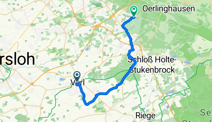
created this 7 years ago
Route quality
Quiet road
11.3 km
(59 %)
Path
3.6 km
(19 %)
Paved
11.3 km
(59 %)
Unpaved
0.2 km
(1 %)
Asphalt
11.3 km
(59 %)
Gravel
0.2 km
(1 %)
Undefined
7.7 km
(40 %)
Continue with Bikemap
You would like to ride Café Klüter-Sennestadt or customize it for your own trip? Here is what you can do with this Bikemap route:
Free trial for 3 days, or one-time payment. More about Bikemap Premium.
Discover more Premium features.
Get Bikemap PremiumFrom our community
Open it in the app