
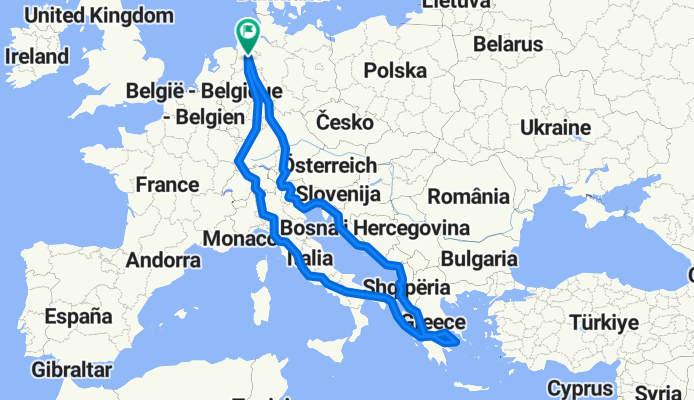
Garrel-Athen-Brindisi-Garrel
A cycling route starting in Garrel, Lower Saxony, Germany.
Overview
About this route
Erste große Velomobilrunde als Rentner
Routenlänge abzüglich 457 km Fähre zwischen Patra und Brindisi.
- -:--
- Duration
- 6,297.1 km
- Distance
- 5,508 m
- Ascent
- 5,508 m
- Descent
- ---
- Avg. speed
- ---
- Max. altitude

Continue with Bikemap
Use, edit, or download this cycling route
You would like to ride Garrel-Athen-Brindisi-Garrel or customize it for your own trip? Here is what you can do with this Bikemap route:
Free features
- Save this route as favorite or in collections
- Copy & plan your own version of this route
- Split it into stages to create a multi-day tour
- Sync your route with Garmin or Wahoo
Premium features
Free trial for 3 days, or one-time payment. More about Bikemap Premium.
- Navigate this route on iOS & Android
- Export a GPX / KML file of this route
- Create your custom printout (try it for free)
- Download this route for offline navigation
Discover more Premium features.
Get Bikemap PremiumFrom our community
Other popular routes starting in Garrel
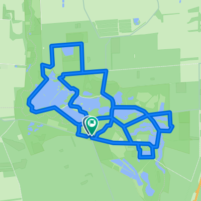 Ahlhorner Teiche 16
- Distance
- 16.4 km
- Ascent
- 56 m
- Descent
- 57 m
- Location
- Garrel, Lower Saxony, Germany
 Alleenroute
- Distance
- 30.9 km
- Ascent
- 24 m
- Descent
- 27 m
- Location
- Garrel, Lower Saxony, Germany
 Thülsfelder Talsperr Tour
- Distance
- 38.1 km
- Ascent
- 80 m
- Descent
- 79 m
- Location
- Garrel, Lower Saxony, Germany
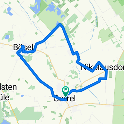
 Garrel - Entdeckertour mit dem Rad
- Distance
- 21.1 km
- Ascent
- 23 m
- Descent
- 21 m
- Location
- Garrel, Lower Saxony, Germany
 Garrel
- Distance
- 20.9 km
- Ascent
- 29 m
- Descent
- 26 m
- Location
- Garrel, Lower Saxony, Germany
 Thülsfelder Talsperre - Harriersand
- Distance
- 78.2 km
- Ascent
- 33 m
- Descent
- 53 m
- Location
- Garrel, Lower Saxony, Germany
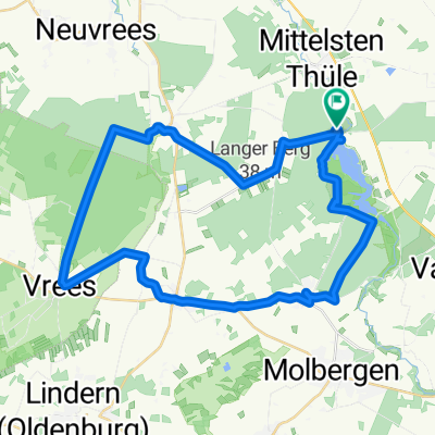
 Alleenroute - Rundtour im Erholungsgebiet Thülsfelder Talsperre
- Distance
- 32 km
- Ascent
- 32 m
- Descent
- 34 m
- Location
- Garrel, Lower Saxony, Germany
 Roslaes Höhe 28, Garrel nach Roslaes Höhe 24, Garrel
- Distance
- 36 km
- Ascent
- 53 m
- Descent
- 56 m
- Location
- Garrel, Lower Saxony, Germany
Open it in the app