
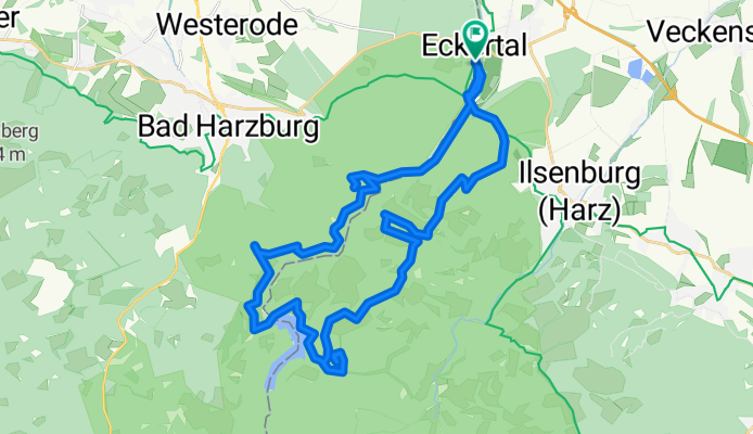
Ecker
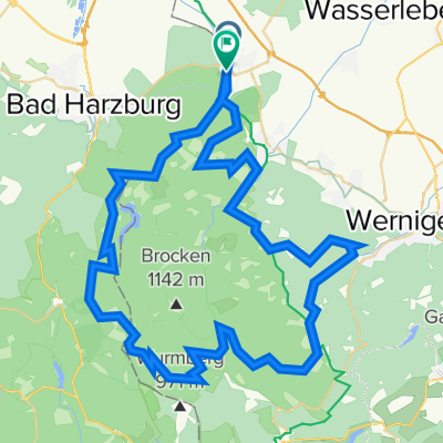
A cycling route starting in Stapelburg, Saxony-Anhalt, Germany.
Overview
About this route
Rabenklippe, Scharfenstein, Taubenklippe
- -:--
- Duration
- 31.9 km
- Distance
- 621 m
- Ascent
- 623 m
- Descent
- ---
- Avg. speed
- ---
- Max. altitude
Continue with Bikemap
Use, edit, or download this cycling route
You would like to ride Ecker or customize it for your own trip? Here is what you can do with this Bikemap route:
Free features
- Save this route as favorite or in collections
- Copy & plan your own version of this route
- Sync your route with Garmin or Wahoo
Premium features
Free trial for 3 days, or one-time payment. More about Bikemap Premium.
- Navigate this route on iOS & Android
- Export a GPX / KML file of this route
- Create your custom printout (try it for free)
- Download this route for offline navigation
Discover more Premium features.
Get Bikemap PremiumFrom our community
Other popular routes starting in Stapelburg
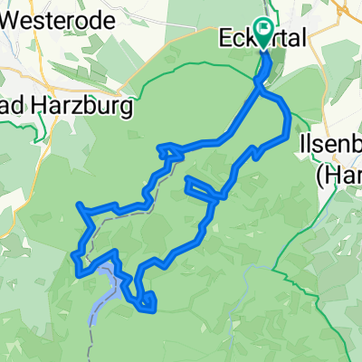
 1000 Höhenmeter am Stück "Brockentour"
- Distance
- 36.9 km
- Ascent
- 983 m
- Descent
- 985 m
- Location
- Stapelburg, Saxony-Anhalt, Germany
 GRX 81 680 Ecker Oesig Strade
- Distance
- 81.2 km
- Ascent
- 442 m
- Descent
- 446 m
- Location
- Stapelburg, Saxony-Anhalt, Germany
 Ecker
Ecker- Distance
- 31.9 km
- Ascent
- 621 m
- Descent
- 623 m
- Location
- Stapelburg, Saxony-Anhalt, Germany
 1000 Höhenmeter am Stück "Brockentour"
- Distance
- 36.9 km
- Ascent
- 1,047 m
- Descent
- 1,050 m
- Location
- Stapelburg, Saxony-Anhalt, Germany
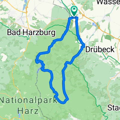
 Harz: Eckertal - Osterwieck - Eckertal
- Distance
- 40.1 km
- Ascent
- 196 m
- Descent
- 196 m
- Location
- Stapelburg, Saxony-Anhalt, Germany
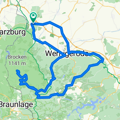 Stapelburg - Wernigerode - Brocken - Stapelburg
- Distance
- 99.7 km
- Ascent
- 1,167 m
- Descent
- 1,167 m
- Location
- Stapelburg, Saxony-Anhalt, Germany
 Berg Tour Stapelburg
- Distance
- 66.5 km
- Ascent
- 1,745 m
- Descent
- 1,734 m
- Location
- Stapelburg, Saxony-Anhalt, Germany
 Kurze Harztour
- Distance
- 32.5 km
- Ascent
- 659 m
- Descent
- 650 m
- Location
- Stapelburg, Saxony-Anhalt, Germany
Open it in the app