
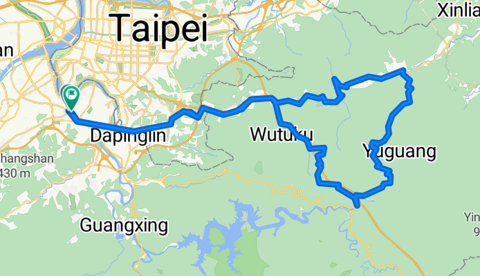
北42/北43"藍鵲"公路
A cycling route starting in Banqiao District, Taipei, Taiwan.
Overview
About this route
- -:--
- Duration
- 90 km
- Distance
- 1,049 m
- Ascent
- 1,042 m
- Descent
- ---
- Avg. speed
- ---
- Max. altitude

Continue with Bikemap
Use, edit, or download this cycling route
You would like to ride 北42/北43"藍鵲"公路 or customize it for your own trip? Here is what you can do with this Bikemap route:
Free features
- Save this route as favorite or in collections
- Copy & plan your own version of this route
- Split it into stages to create a multi-day tour
- Sync your route with Garmin or Wahoo
Premium features
Free trial for 3 days, or one-time payment. More about Bikemap Premium.
- Navigate this route on iOS & Android
- Export a GPX / KML file of this route
- Create your custom printout (try it for free)
- Download this route for offline navigation
Discover more Premium features.
Get Bikemap PremiumFrom our community
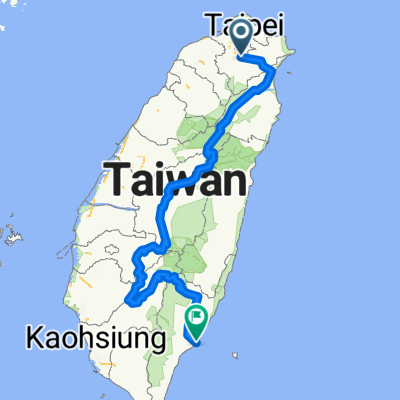
Other popular routes starting in Banqiao District
 中和-三峽-三民-石門水庫-三坑鐵馬道-鶯歌-中和
- Distance
- 94.9 km
- Ascent
- 555 m
- Descent
- 560 m
- Location
- Banqiao District, Taipei, Taiwan
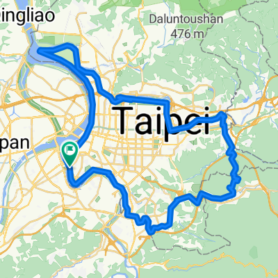
 新店-北宜-礁溪
- Distance
- 61.1 km
- Ascent
- 2,514 m
- Descent
- 2,331 m
- Location
- Banqiao District, Taipei, Taiwan
 西濱-八仙to白沙屯
- Distance
- 104.3 km
- Ascent
- 132 m
- Descent
- 133 m
- Location
- Banqiao District, Taipei, Taiwan
 觀音山凌雲路-遊客中心
- Distance
- 8 km
- Ascent
- 433 m
- Descent
- 84 m
- Location
- Banqiao District, Taipei, Taiwan
 輪霸西濱200
- Distance
- 203.4 km
- Ascent
- 204 m
- Descent
- 203 m
- Location
- Banqiao District, Taipei, Taiwan
 中央山脈一條鞭
- Distance
- 690.1 km
- Ascent
- 8,446 m
- Descent
- 8,466 m
- Location
- Banqiao District, Taipei, Taiwan
 新北南環110
- Distance
- 64.7 km
- Ascent
- 209 m
- Descent
- 209 m
- Location
- Banqiao District, Taipei, Taiwan
 台北市一圈
台北市一圈- Distance
- 68.8 km
- Ascent
- 207 m
- Descent
- 211 m
- Location
- Banqiao District, Taipei, Taiwan
Open it in the app