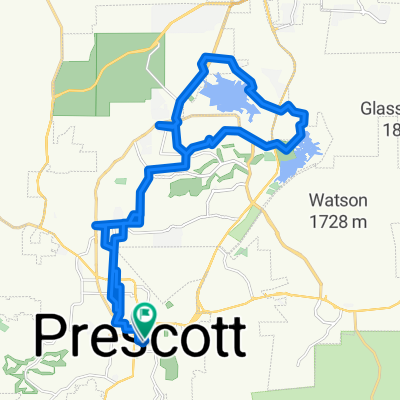
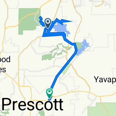
34.553° N -112.520° W to 34.552° N -112.521° W
- 9.5 km
- 196 m
- 206 m
- Prescott, Arizona, United States
A cycling route starting in Prescott, Arizona, United States.
Overview
Left out of VA on 89 to Left at Rosser. Left on Willow Creek, Left on Whipple St and down 6th Ave to back streets behind YCC, and back to the VA.
created this 7 years ago
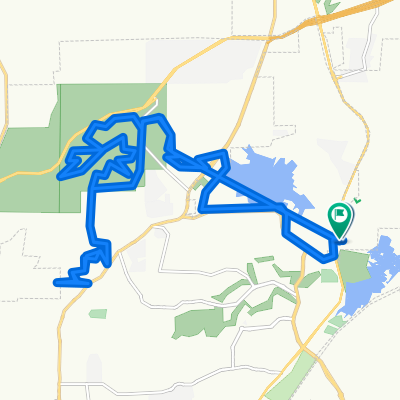
Route quality
Road
4.9 km
(37 %)
Quiet road
1.9 km
(14 %)
Paved
6 km
(45 %)
Asphalt
5.7 km
(43 %)
Paved (undefined)
0.1 km
(1 %)
Continue with Bikemap
You would like to ride 8 Mile Loop or customize it for your own trip? Here is what you can do with this Bikemap route:
Free trial for 3 days, or one-time payment. More about Bikemap Premium.
Discover more Premium features.
Get Bikemap PremiumFrom our community
Open it in the app