

Kuststigen Kolhättan-Uddevalla
A cycling route starting in Stenungsund, Västra Götaland County, Sweden.
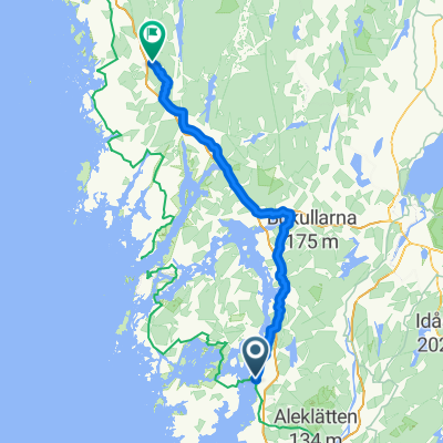
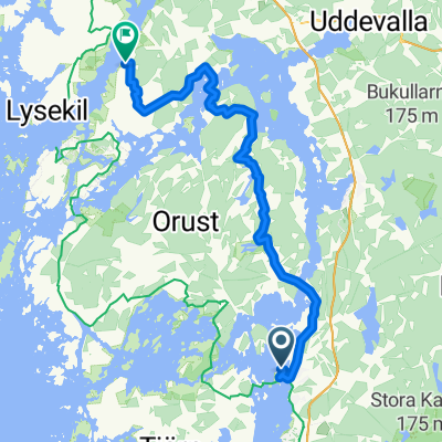
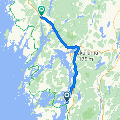
Overview
About this route
Cycled the hiking trail Kuststigen part Kolhättan - Uddevalla. The stretch can be cycled up to 99%, but with some lifting in the woods and stairs and dragging the bike along a rocky beach a few 100 meters.
- 6 h 22 min
- Duration
- 57 km
- Distance
- 395 m
- Ascent
- 422 m
- Descent
- 8.9 km/h
- Avg. speed
- ---
- Max. altitude
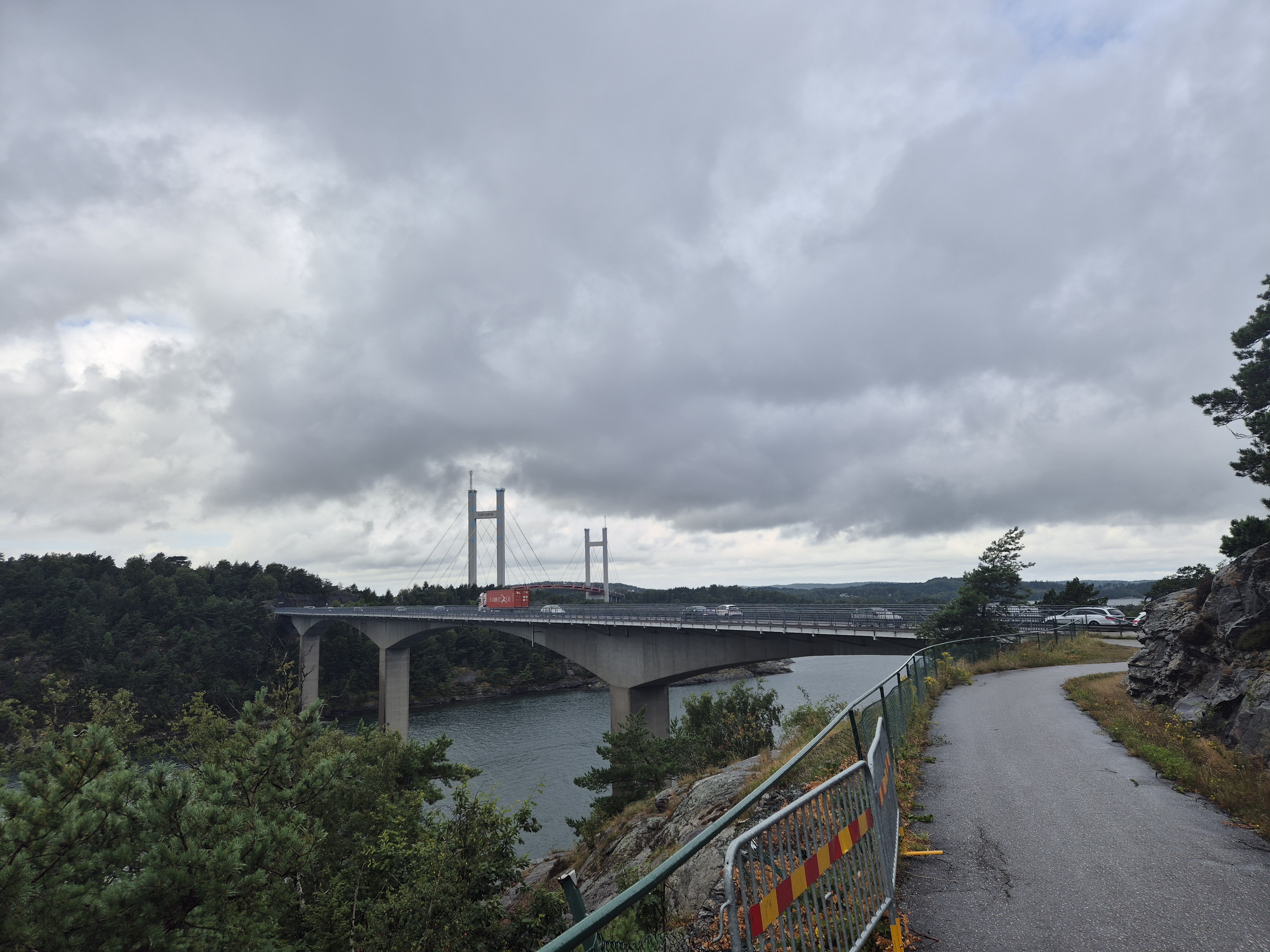
Route photos


Route quality
Waytypes & surfaces along the route
Waytypes
Quiet road
23.4 km
(41 %)
Path
21.6 km
(38 %)
Surfaces
Paved
13.7 km
(24 %)
Unpaved
8.5 km
(15 %)
Asphalt
9.7 km
(17 %)
Gravel
3.4 km
(6 %)
Continue with Bikemap
Use, edit, or download this cycling route
You would like to ride Kuststigen Kolhättan-Uddevalla or customize it for your own trip? Here is what you can do with this Bikemap route:
Free features
- Save this route as favorite or in collections
- Copy & plan your own version of this route
- Sync your route with Garmin or Wahoo
Premium features
Free trial for 3 days, or one-time payment. More about Bikemap Premium.
- Navigate this route on iOS & Android
- Export a GPX / KML file of this route
- Create your custom printout (try it for free)
- Download this route for offline navigation
Discover more Premium features.
Get Bikemap PremiumFrom our community
Other popular routes starting in Stenungsund
 Uddevalla - Rakkestad
- Distance
- 87.9 km
- Ascent
- 997 m
- Descent
- 899 m
- Location
- Stenungsund, Västra Götaland County, Sweden
 Strandtorget 22-24 nach Stalavägen
- Distance
- 21.6 km
- Ascent
- 132 m
- Descent
- 165 m
- Location
- Stenungsund, Västra Götaland County, Sweden
 B-O 24 Stenungsund - Noesund
- Distance
- 38.7 km
- Ascent
- 280 m
- Descent
- 282 m
- Location
- Stenungsund, Västra Götaland County, Sweden
 Kuststigen Kolhättan-Uddevalla
- Distance
- 57 km
- Ascent
- 395 m
- Descent
- 422 m
- Location
- Stenungsund, Västra Götaland County, Sweden
 Stenungsund loop
- Distance
- 91.2 km
- Ascent
- 571 m
- Descent
- 586 m
- Location
- Stenungsund, Västra Götaland County, Sweden
 From Stenungsund to Uddevalla
- Distance
- 57.7 km
- Ascent
- 711 m
- Descent
- 711 m
- Location
- Stenungsund, Västra Götaland County, Sweden
 Stenungsund - Munkedal
- Distance
- 68.9 km
- Ascent
- 812 m
- Descent
- 804 m
- Location
- Stenungsund, Västra Götaland County, Sweden
 2005_6 Trondheim_Travemünde
- Distance
- 130.4 km
- Ascent
- 846 m
- Descent
- 841 m
- Location
- Stenungsund, Västra Götaland County, Sweden
Open it in the app