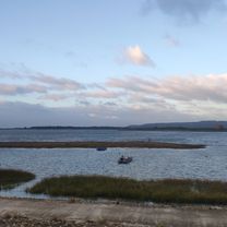
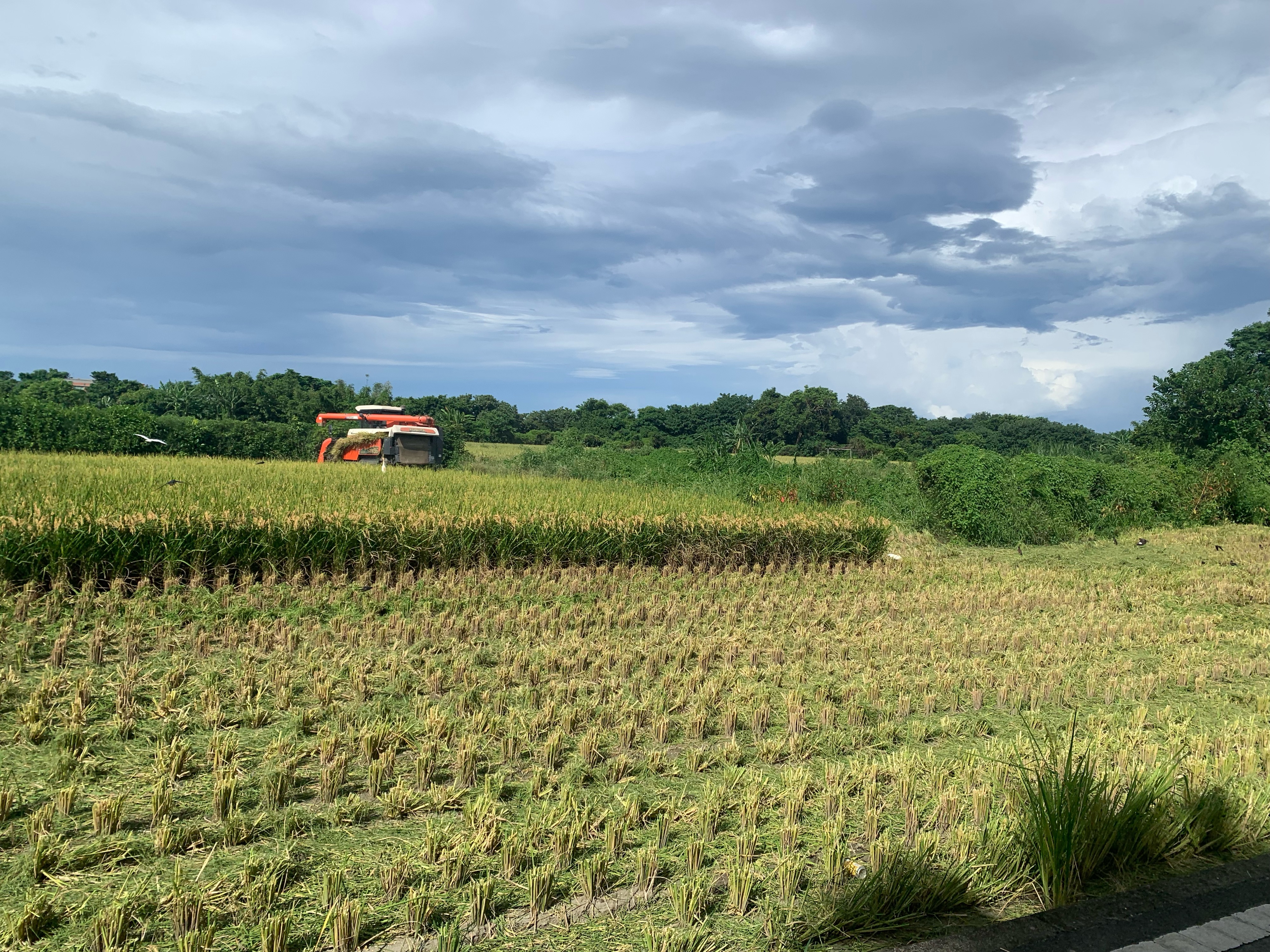
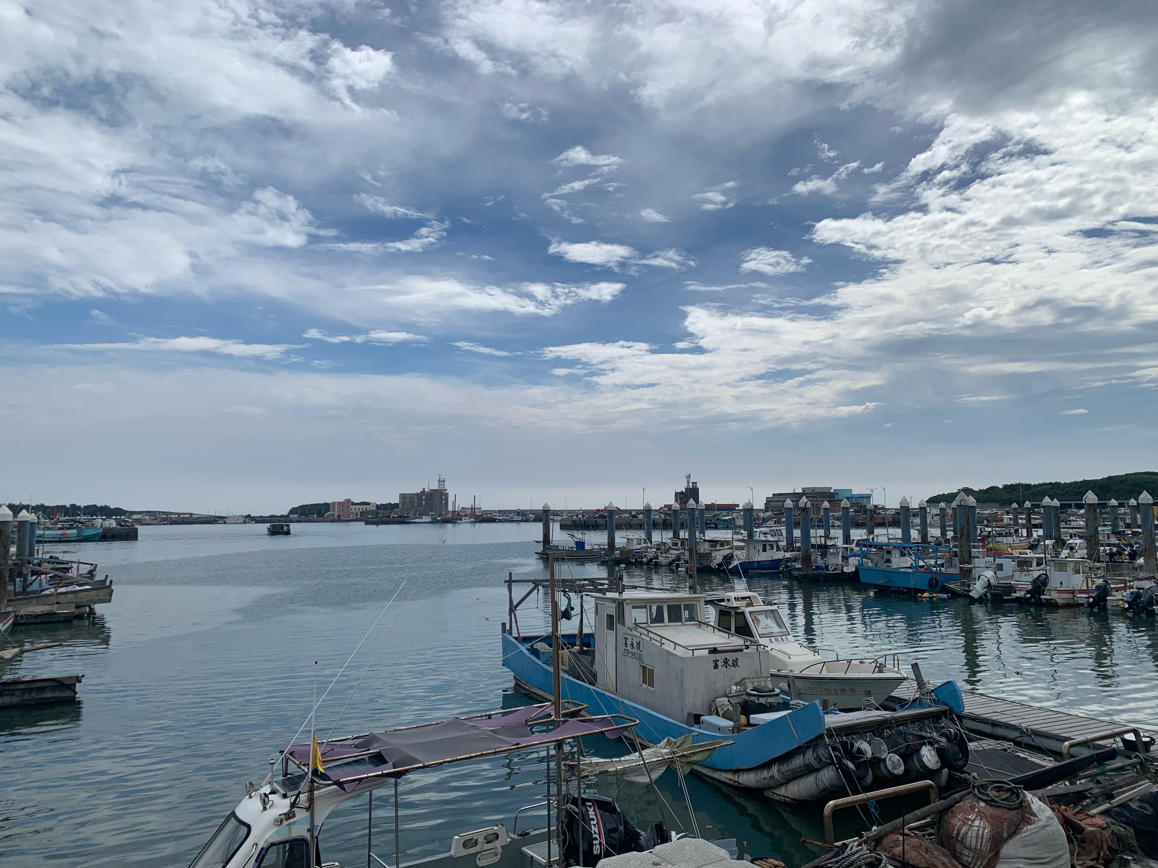
風城單車-新豐紅樹林公園
A cycling route starting in Hsinchu, Taiwan, Taiwan.
Overview
About this route
- -:--
- Duration
- 18.2 km
- Distance
- 62 m
- Ascent
- 93 m
- Descent
- ---
- Avg. speed
- ---
- Max. altitude
Route quality
Waytypes & surfaces along the route
Waytypes
Road
4.9 km
(27 %)
Quiet road
3.1 km
(17 %)
Surfaces
Paved
0.4 km
(2 %)
Asphalt
0.4 km
(2 %)
Undefined
17.8 km
(98 %)
Continue with Bikemap
Use, edit, or download this cycling route
You would like to ride 風城單車-新豐紅樹林公園 or customize it for your own trip? Here is what you can do with this Bikemap route:
Free features
- Save this route as favorite or in collections
- Copy & plan your own version of this route
- Sync your route with Garmin or Wahoo
Premium features
Free trial for 3 days, or one-time payment. More about Bikemap Premium.
- Navigate this route on iOS & Android
- Export a GPX / KML file of this route
- Create your custom printout (try it for free)
- Download this route for offline navigation
Discover more Premium features.
Get Bikemap PremiumFrom our community
Other popular routes starting in Hsinchu
- 寶山水庫+寶二水庫
- Distance
- 38.1 km
- Ascent
- 581 m
- Descent
- 576 m
- Location
- Hsinchu, Taiwan, Taiwan
- 二寮神木 (Beipu)
- Distance
- 43.9 km
- Ascent
- 618 m
- Descent
- 617 m
- Location
- Hsinchu, Taiwan, Taiwan
- 新竹17公里海岸
- Distance
- 37 km
- Ascent
- 51 m
- Descent
- 49 m
- Location
- Hsinchu, Taiwan, Taiwan
- 新埔-太平窩 (Shinpu)
- Distance
- 45 km
- Ascent
- 483 m
- Descent
- 471 m
- Location
- Hsinchu, Taiwan, Taiwan
- 竹苗水庫(2):R1
- Distance
- 38.8 km
- Ascent
- 589 m
- Descent
- 584 m
- Location
- Hsinchu, Taiwan, Taiwan
- 新竹魔神300K
- Distance
- 332.1 km
- Ascent
- 4,146 m
- Descent
- 4,146 m
- Location
- Hsinchu, Taiwan, Taiwan
- 教育大學_新城_水流東_永和山水庫_台一線
- Distance
- 51.3 km
- Ascent
- 492 m
- Descent
- 492 m
- Location
- Hsinchu, Taiwan, Taiwan
- 新竹-羅馬公路-大溪
- Distance
- 118.5 km
- Ascent
- 2,929 m
- Descent
- 2,854 m
- Location
- Hsinchu, Taiwan, Taiwan
Open it in the app