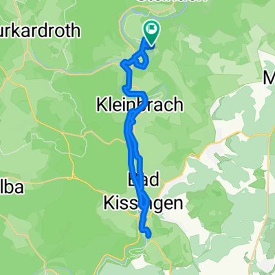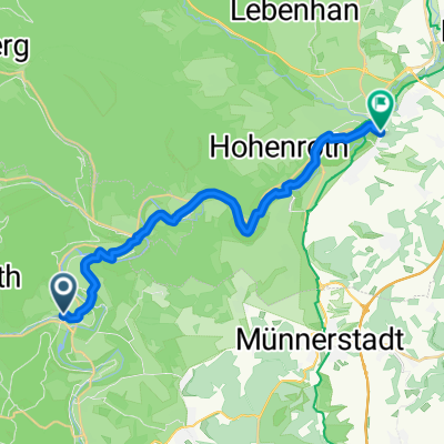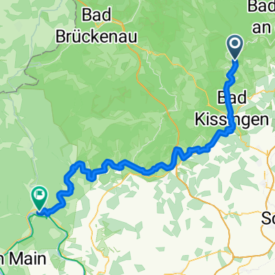
Tag 1 2019 - Bad Bocklet/Gemünden
- 64.2 km
- 214 m
- 278 m
- Bad Bocklet, Bavaria, Germany
A cycling route starting in Bad Bocklet, Bavaria, Germany.
Overview
created this 6 years ago
Route quality
Track
28.2 km
(44 %)
Quiet road
19.9 km
(31 %)
Paved
41.1 km
(64 %)
Unpaved
12.2 km
(19 %)
Asphalt
32.7 km
(51 %)
Gravel
9 km
(14 %)
Route highlights
Papamobilpause
Continue with Bikemap
You would like to ride Tag 1 2019 - Bad Bocklet/Gemünden or customize it for your own trip? Here is what you can do with this Bikemap route:
Free trial for 3 days, or one-time payment. More about Bikemap Premium.
Discover more Premium features.
Get Bikemap PremiumFrom our community
Open it in the app