

Tour 2020 - Tag 1
A cycling route starting in Templin, Brandenburg, Germany.
Overview
About this route
- -:--
- Duration
- 100 km
- Distance
- 126 m
- Ascent
- 150 m
- Descent
- ---
- Avg. speed
- ---
- Max. altitude
Route quality
Waytypes & surfaces along the route
Waytypes
Quiet road
39 km
(39 %)
Path
29 km
(29 %)
Surfaces
Paved
74 km
(74 %)
Unpaved
8 km
(8 %)
Asphalt
70 km
(70 %)
Concrete
4 km
(4 %)
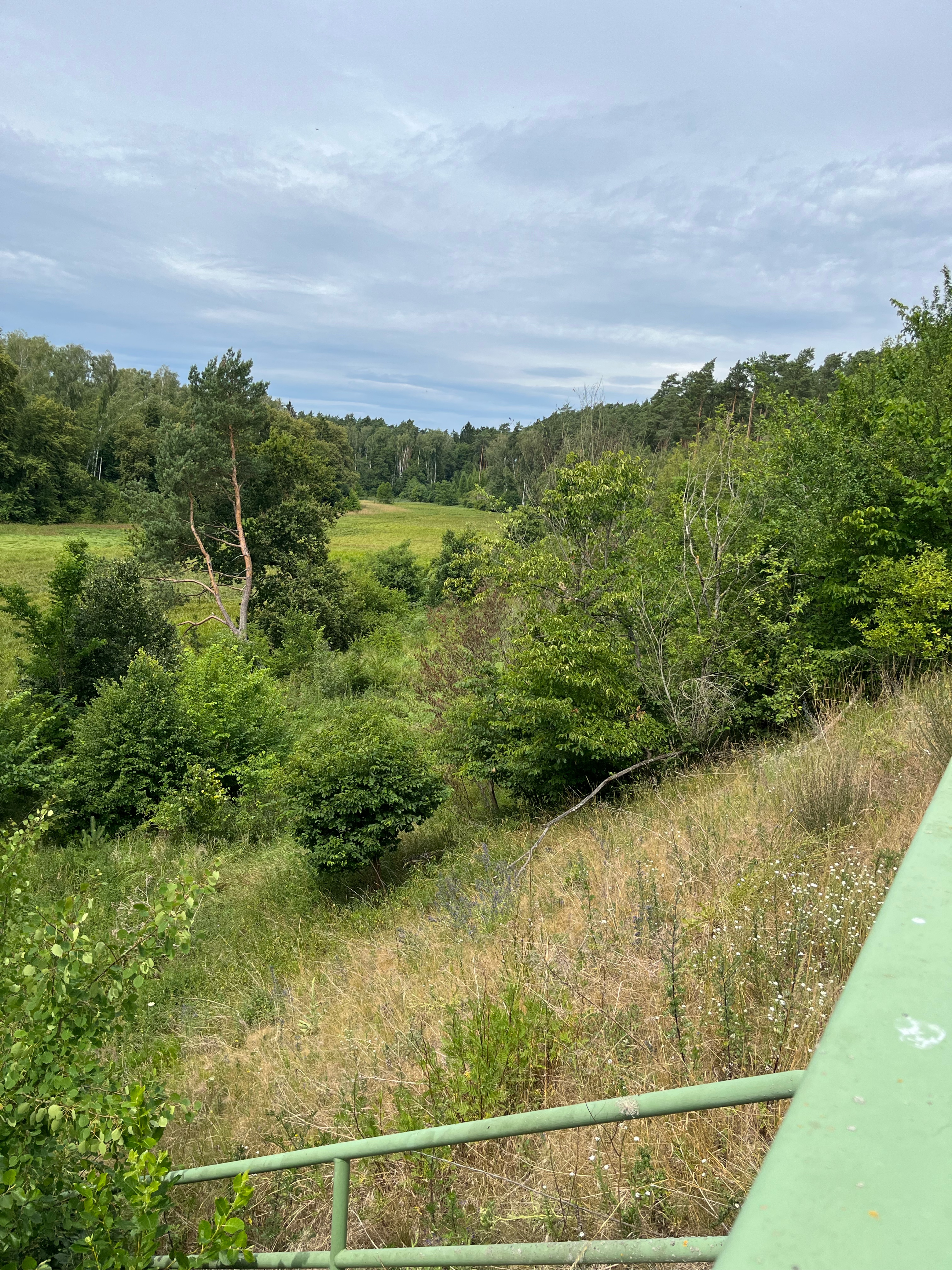
Route highlights
Points of interest along the route

Point of interest after 0 km
El Dorado Templin
Continue with Bikemap
Use, edit, or download this cycling route
You would like to ride Tour 2020 - Tag 1 or customize it for your own trip? Here is what you can do with this Bikemap route:
Free features
- Save this route as favorite or in collections
- Copy & plan your own version of this route
- Split it into stages to create a multi-day tour
- Sync your route with Garmin or Wahoo
Premium features
Free trial for 3 days, or one-time payment. More about Bikemap Premium.
- Navigate this route on iOS & Android
- Export a GPX / KML file of this route
- Create your custom printout (try it for free)
- Download this route for offline navigation
Discover more Premium features.
Get Bikemap PremiumFrom our community
Other popular routes starting in Templin
 53 km Templin
- Distance
- 57.9 km
- Ascent
- 167 m
- Descent
- 169 m
- Location
- Templin, Brandenburg, Germany
 Templin-Boitzenburg-Prenzlau
- Distance
- 41.6 km
- Ascent
- 183 m
- Descent
- 209 m
- Location
- Templin, Brandenburg, Germany
 Schinkelstraße, Templin nach Templin
- Distance
- 29.1 km
- Ascent
- 117 m
- Descent
- 127 m
- Location
- Templin, Brandenburg, Germany
 63 Km Templin
- Distance
- 62.6 km
- Ascent
- 187 m
- Descent
- 187 m
- Location
- Templin, Brandenburg, Germany
 Spur der Steine zwischen Templin und Prenzlau
- Distance
- 51.7 km
- Ascent
- 206 m
- Descent
- 241 m
- Location
- Templin, Brandenburg, Germany
 Lange Radrunde vom 10. Mai 09:30
- Distance
- 85.1 km
- Ascent
- 215 m
- Descent
- 201 m
- Location
- Templin, Brandenburg, Germany
 Über Stock und Stein (mittel)
- Distance
- 39.8 km
- Ascent
- 168 m
- Descent
- 166 m
- Location
- Templin, Brandenburg, Germany
 Templiner See
- Distance
- 19.7 km
- Ascent
- 280 m
- Descent
- 283 m
- Location
- Templin, Brandenburg, Germany
Open it in the app