Ciro Ruta v1
- 299.5 km
- 4,188 m
- 4,499 m
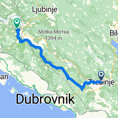
- Trebinje, Republika Srpska, Bosnia and Herzegovina
A cycling route starting in Trebinje, Republika Srpska, Bosnia and Herzegovina.
Overview
created this 6 years ago
Route quality
Quiet road
241.4 km
(27 %)
Road
98.3 km
(11 %)
Paved
509.6 km
(57 %)
Unpaved
160.9 km
(18 %)
Asphalt
491.7 km
(55 %)
Unpaved (undefined)
80.5 km
(9 %)
Continue with Bikemap
You would like to ride BikeProject2019 - Montenegro Albania or customize it for your own trip? Here is what you can do with this Bikemap route:
Free trial for 3 days, or one-time payment. More about Bikemap Premium.
Discover more Premium features.
Get Bikemap PremiumFrom our community
Open it in the app