

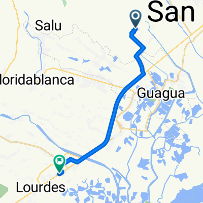
pers ride ng 2019
A cycling route starting in Santa Rita, Central Luzon, Philippines.
Overview
About this route
- -:--
- Duration
- 9.7 km
- Distance
- 11 m
- Ascent
- 4 m
- Descent
- ---
- Avg. speed
- ---
- Avg. speed

Route photos

Route quality
Waytypes & surfaces along the route
Waytypes
Quiet road
5.7 km
(59 %)
Busy road
2 km
(21 %)
Surfaces
Paved
7.1 km
(73 %)
Unpaved
0.1 km
(<1 %)
Concrete
5.1 km
(52 %)
Asphalt
2 km
(21 %)
Continue with Bikemap
Use, edit, or download this cycling route
You would like to ride pers ride ng 2019 or customize it for your own trip? Here is what you can do with this Bikemap route:
Free features
- Save this route as favorite or in collections
- Copy & plan your own version of this route
- Sync your route with Garmin or Wahoo
Premium features
Free trial for 3 days, or one-time payment. More about Bikemap Premium.
- Navigate this route on iOS & Android
- Export a GPX / KML file of this route
- Create your custom printout (try it for free)
- Download this route for offline navigation
Discover more Premium features.
Get Bikemap PremiumFrom our community
Other popular routes starting in Santa Rita
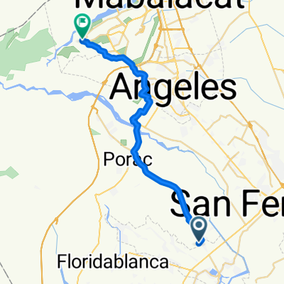
 Unnamed Road, Santa Rita to San Pedro Road, San Fernando
- Distance
- 14.2 km
- Ascent
- 69 m
- Descent
- 99 m
- Location
- Santa Rita, Central Luzon, Philippines
 Dalan Libutad 241, Santa Rita to Unnamed Road, Hermosa
- Distance
- 29.2 km
- Ascent
- 130 m
- Descent
- 105 m
- Location
- Santa Rita, Central Luzon, Philippines
 Unnamed Road, Santa Rita to Jose Abad Santos Avenue, Lubao
- Distance
- 18 km
- Ascent
- 78 m
- Descent
- 96 m
- Location
- Santa Rita, Central Luzon, Philippines
 2J98+C7M, Santa Rita to XMGQ+V24, Municipality of Minalin
- Distance
- 13.3 km
- Ascent
- 0 m
- Descent
- 4 m
- Location
- Santa Rita, Central Luzon, Philippines
 Route to General Luna Street, Porac
- Distance
- 12 km
- Ascent
- 64 m
- Descent
- 10 m
- Location
- Santa Rita, Central Luzon, Philippines
 pers ride ng 2019
- Distance
- 9.7 km
- Ascent
- 11 m
- Descent
- 4 m
- Location
- Santa Rita, Central Luzon, Philippines
 Route from Sta Monica, Santa Rita
- Distance
- 32.6 km
- Ascent
- 313 m
- Descent
- 70 m
- Location
- Santa Rita, Central Luzon, Philippines
 2J98+C97, Santa Rita to RG3Q+8XG, Orani
- Distance
- 39 km
- Ascent
- 35 m
- Descent
- 55 m
- Location
- Santa Rita, Central Luzon, Philippines
Open it in the app